Bustard Island
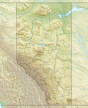 Bustard Island Location of Bustard Island in Alberta | |
| Geography | |
|---|---|
| Location | Regional Municipality of Wood Buffalo, Alberta, Canada |
| Coordinates | 58°47′42″N 110°43′53″W / 58.79500°N 110.73139°WCoordinates: 58°47′42″N 110°43′53″W / 58.79500°N 110.73139°W |
| Administration | |
| Demographics | |
| Population | 0 |
| Additional information | |
| [1] | |
Bustard Island is Alberta's largest sand island, It is located in Lake Athabasca in the part of the Fidler-Greywillow Wildland Park.[2] The Lucas Islands lie northeast from the island, the other major island in the park; Burntwood Island lays 11.8 kilometres (7.3 mi) to the north.[1]
Geography
Storm beaches can be found around the island with sand shores, as well as rock points.[2] It is located about 4.8 kilometres (3.0 mi) from shore at Shelter Point to the northwest and is part of the Athabasca Plains sub-region of the Canadian Shield.[3] There are two internal lagoons on the island. The island has very few wetland/aquatic areas, the best documented is the large lagoon on the east side of the island. Leymus mollis (American dune grass) is common the most on the sandy shores of the island.[3]
References
- 1 2 "Bustard Island, Alberta". Natural Resources Canada. Govnment of Canada. Retrieved 27 June 2016.
- 1 2 "Fidler-Greywillow Wildland Provincial Park". Alberta Parks. Govnment of Alberta. Retrieved 27 June 2016.
- 1 2 L., Allen; Johnson, J. D.; Vujnovic, K. (2003). "Small Patch Communities of Fidler-Greywillow Wildland Provincial Park. A report prepared for Parks and Protected Areas" (Report). Alberta Parks. Edmonton: Alberta Community Development. Retrieved 27 June 2016.