CARTE Museum
 | |
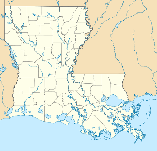 Location of the CARTE Museum in Louisiana | |
| Established | 2009 |
|---|---|
| Location | Baton Rouge, Louisiana |
| Coordinates | 30°25′33″N 91°09′31″W / 30.425961°N 91.158632°W |
| Type | History museum |
| Collection size | 10,000 (2,300 individual maps and atlas entries) |
| Director | David J. Morgan |
| Website |
cartemuseum |
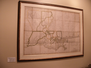
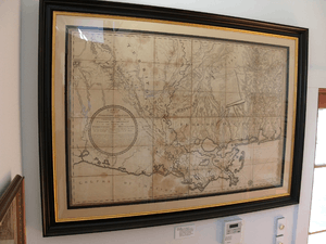
The Cartographic Acquisition Research Teaching and Exhibition Museum (CARTE - the French word for map) is a small privately owned cartographic museum located in Baton Rouge, Louisiana, and is dedicated to the preservation of original maps and atlases. The collection documents early North American continent exploration, centered on the present-day Louisiana Gulf Coast from the 1500s up to the appearance of aerial cartography in the early 20th century.[1][2]
Owner David Morgan opened his collection of maps to the public on December 2, 2009, in a building formerly occupied by a local art gallery. The museum is open to the public at no charge.
The collection
The collection includes maps by Guillaume de L’Isle, Louis Jolliet, Nicolas de Fer, Henri Joutel, Barthelemy Lafon, William Darby, and John La Tourrette. Most maps exhibit original hand color or color lithography and are accompanied by written explanations highlighting important changes or features on individual maps. Approximately 30 maps are on display at any given time and are grouped together by common theme.
References
- ↑ "CARTE Museum of Maps". Country Roads Magazine. Retrieved 2012-09-11. <-- Dead link 16 April 2015.
- ↑ "Mapping History," Greg Langley. The Advocate Magazine, July 18, 2010.