Calaveras Creek (California)
| Calaveras Creek | |
| stream | |
| Name origin: Spanish[1] | |
| Country | United States |
|---|---|
| State | California |
| Regions | Alameda County, Santa Clara County |
| Tributaries | |
| - right | Arroyo Hondo |
| Source | |
| - location | 8 miles (13 km) east of Milpitas |
| - coordinates | 37°25′53″N 121°44′49″W / 37.43139°N 121.74694°W [2] |
| Mouth | Alameda Creek |
| - location | 6 miles (9.7 km) east of Fremont |
| - elevation | 427 ft (130 m) |
| - coordinates | 37°30′13″N 121°49′17″W / 37.50361°N 121.82139°WCoordinates: 37°30′13″N 121°49′17″W / 37.50361°N 121.82139°W [2] |
| Length | 8.5 mi (14 km) |
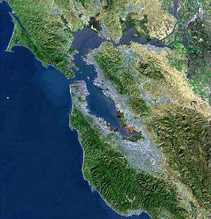
Calaveras Creek is a northward-flowing stream in Alameda and Santa Clara counties of California. It runs for 8.5 miles (13.7 km), starting from Poverty Ridge, passing through Calaveras Reservoir, and emptying into Alameda Creek east of Fremont, California.
Its main tributary is Arroyo Hondo.
See also
References
- ↑ Durham, David L. (1998). California's Geographic Names: A Gazetteer of Historic and Modern Names of the State. Word Dancer Press. p. 610. ISBN 1-884995-14-4.
- 1 2 U.S. Geological Survey Geographic Names Information System: Calaveras Creek
This article is issued from Wikipedia - version of the 9/11/2016. The text is available under the Creative Commons Attribution/Share Alike but additional terms may apply for the media files.