Cape Cort Adelaer
| Cape Cort Adelaer | |
|---|---|
| Kap Cort Adelaer, Kangeq | |
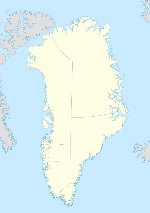 | |
| Location | Sermersooq, Greenland |
| Coordinates | 61°50′N 42°5′W / 61.833°N 42.083°WCoordinates: 61°50′N 42°5′W / 61.833°N 42.083°W |
| Offshore water bodies | North Atlantic Ocean |
| Elevation | 707 m |
| Area | Arctic |
Cape Cort Adelaer (Danish: Kap Cort Adelaer), also known as Cape Adelaer, is a headland in the North Atlantic Ocean, southeast Greenland, Sermersooq municipality. This cape is named after Norwegian seaman Cort Adeler (1622 – 1675) who distinguished himself for services rendered to the Royal Dano-Norwegian Navy.[1]
Geography
Cape Cort Adelaer is located in the northeast of an irregularly-shaped coastal island located on the northern side of the mouth of the Napasorsuaq Fjord. Cape Daniel Rantzau, the SE headland of the same island is located 7.2 km to the south.[2]
Small Uummannaarsuk island lies 2 km to the southeastof the cape.[3]
History
Cape Cort Adelaer weather station was built and staffed on this headland by the Allies during World War II. At that time there was another weather station on Skjoldungen further north up the coast.[4]
References
- ↑ Cort Adeler – utdypning (Store norske leksikon)
- ↑ Den grønlandske Lods - Sejladsanvisninger Østgrønland, p. 49
- ↑ "Kap Cort Adelaer". Mapcarta. Retrieved 10 April 2016.
- ↑ "Kap Cort Adelaer - Weather Station". Warcovers - Greenland Units. Retrieved 18 April 2016.