Centreville, British Columbia
| Centreville | |
|---|---|
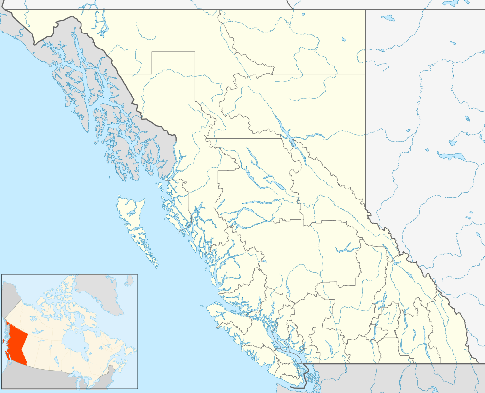 Centreville Location of Centreville in British Columbia | |
| Coordinates: 59°16′20″N 129°24′15″W / 59.27222°N 129.40417°WCoordinates: 59°16′20″N 129°24′15″W / 59.27222°N 129.40417°W | |
| Country |
|
| Province |
|
Centreville is a ghost town located in the Cassiar Land District of British Columbia, northwest of the junction of McDame Creek and the Dease River.[1] Centreville contained cabins and stores. The town was a trading centre for miners working on McDame Creek in the 1800s.[2]
References
- ↑ "Centreville". BCGNIS. Retrieved 15 January 2012.
- ↑ N.L. Barlee (1976), Historic Treasure and Lost Mines of British Columbia. Canada West Publications.
This article is issued from Wikipedia - version of the 12/21/2014. The text is available under the Creative Commons Attribution/Share Alike but additional terms may apply for the media files.