Cerro Catedral Heliport
| Cerro Catedral Heliport | |||||||||||
|---|---|---|---|---|---|---|---|---|---|---|---|
| IATA: none – ICAO: SAZK | |||||||||||
| Summary | |||||||||||
| Airport type | Public | ||||||||||
| Serves | Cerro Catedral | ||||||||||
| Location | Argentina | ||||||||||
| Elevation AMSL | 3,450 ft / 1,052 m | ||||||||||
| Coordinates | 41°9′51.8″S 71°26′25.0″W / 41.164389°S 71.440278°WCoordinates: 41°9′51.8″S 71°26′25.0″W / 41.164389°S 71.440278°W | ||||||||||
| Map | |||||||||||
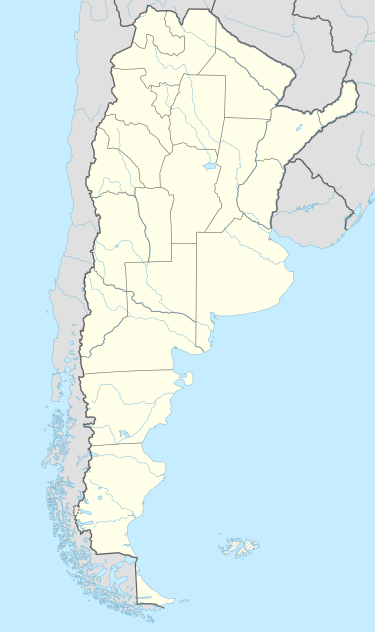 SAZK Location of Cerro Catedral Heliport in Argentina | |||||||||||
| Helipads | |||||||||||
| |||||||||||
Cerro Catedral Heliport (ICAO: SAZK) is a public use heliport located near Cerro Catedral, Chubut, Argentina.
See also
References
- ↑ Airport record for Cerro Catedral Heliport at Landings.com. Retrieved 5 August 2013
- ↑ Google (5 August 2013). "location of Cerro Catedral Heliport" (Map). Google Maps. Google. Retrieved 5 August 2013.
External links
- Airport record for Cerro Catedral Heliport at Landings.com
This article is issued from Wikipedia - version of the 11/8/2016. The text is available under the Creative Commons Attribution/Share Alike but additional terms may apply for the media files.