Ch'iyar Jaqhi (Pagador)
This article is about the mountain in the Sebastián Pagador Province, Oruro Department, Bolivia. For other uses, see Ch'iyar Jaqhi.
| Ch'iyar Jaqhi | |
|---|---|
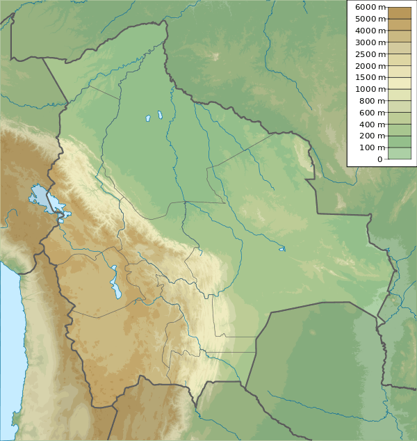 Ch'iyar Jaqhi Location in Bolivia | |
| Highest point | |
| Elevation | 4,937 m (16,198 ft) [1] |
| Coordinates | 19°17′34″S 66°27′00″W / 19.29278°S 66.45000°WCoordinates: 19°17′34″S 66°27′00″W / 19.29278°S 66.45000°W |
| Geography | |
| Location |
Bolivia, Oruro Department |
| Parent range | Andes |
Ch'iyar Jaqhi (Aymara ch'iyara black,jaqhi precipice, cliff,[2] "black cliff", Hispanicized spelling Chiar Jakke) is a 4,937-metre-high (16,198 ft) mountain located in the Andes in Bolivia. It is situated in the Oruro Department, Sebastián Pagador Province (Santiago de Huari Municipality), in the south of the Condo "C" Canton. It lies between the mountains Jatun Wila Qullu in the south-west and Wila Qullu in the north-east. One of the nearest mountains is Jach'a Jaqhi (Jachcha Jakke) north-east of it. The river Qullpa Jawira originates near Ch'iyar Jaqhi.[1][3]
References
- 1 2 Bolivian IGM map 1:50,000 Estancia Belen 6336-III
- ↑ Radio San Gabriel, "Instituto Radiofonico de Promoción Aymara" (IRPA) 1993, Republicado por Instituto de las Lenguas y Literaturas Andinas-Amazónicas (ILLLA-A) 2011, Transcripción del Vocabulario de la Lengua Aymara, P. Ludovico Bertonio 1612 (Spanish-Aymara-Aymara-Spanish dictionary)
- ↑ Santiago de Huari Municipality: population data and map
Capital: Oruro | ||
| Provinces |  | |
| Municipalities (and seats) |
| |
This article is issued from Wikipedia - version of the 5/5/2016. The text is available under the Creative Commons Attribution/Share Alike but additional terms may apply for the media files.