Chacalluta International Airport
| Chacalluta International Airport Aeródromo de Chacalluta Arica | |||||||||||
|---|---|---|---|---|---|---|---|---|---|---|---|
| IATA: ARI – ICAO: SCAR | |||||||||||
| Summary | |||||||||||
| Airport type | Public | ||||||||||
| Serves | Arica, Arica Province, Arica y Parinacota Region, Chile | ||||||||||
| Elevation AMSL | 51 m / 167 ft | ||||||||||
| Coordinates | 18°20′54″S 070°20′19″W / 18.34833°S 70.33861°WCoordinates: 18°20′54″S 070°20′19″W / 18.34833°S 70.33861°W | ||||||||||
| Maps | |||||||||||
_(zoom).svg.png) Arica y Parinacota Region in Chile | |||||||||||
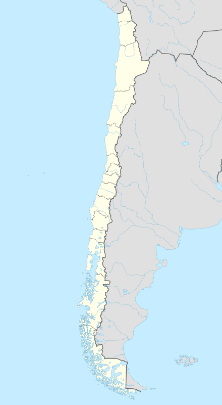 ARI Location of the airport in Chile | |||||||||||
| Runways | |||||||||||
| |||||||||||
Chacalluta International Airport (IATA: ARI, ICAO: SCAR) is an airport serving the city of Arica, capital of the Arica Province in the northern Arica y Parinacota Region of Chile. It is located 18.5 kilometres (11.5 mi) northeast of the city and 1 kilometre (0.62 mi) south of the border with Peru.[1]
Airlines and destinations
| Airlines | Destinations |
|---|---|
| LATAM Chile | Iquique, Santiago de Chile |
| Sky Airline | Antofagasta, Iquique, La Paz, Santiago de Chile |
References
- ↑ http://www.infoarica.cl/vuelos.htm (Spanish) (English)
External links
- Airport information for SCAR at World Aero Data. Data current as of October 2006.
- Airport record for Aeropuerto Internacional de Arica Chacalluta at Landings.com
- Current weather for SCAR at NOAA/NWS
This article is issued from Wikipedia - version of the 12/4/2016. The text is available under the Creative Commons Attribution/Share Alike but additional terms may apply for the media files.