Chandanakampara
| Chandanakampara | |
|---|---|
| Village | |
|
Little Flower School | |
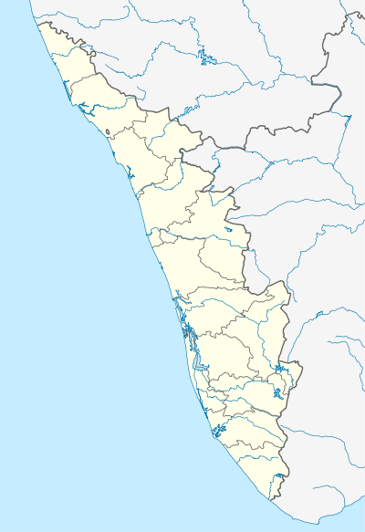 Chandanakampara  Chandanakampara Location in Kerala, India | |
| Coordinates: 12°06′28″N 75°36′33″E / 12.1078498°N 75.6092355°ECoordinates: 12°06′28″N 75°36′33″E / 12.1078498°N 75.6092355°E | |
| Country |
|
| State | Kerala |
| District | kannur district |
| Languages | |
| • Official | Malayalam, English |
| Time zone | IST (UTC+5:30) |
| PIN | 670633 |
| Telephone code | 0460-2214&2215 |
| ISO 3166 code | IN-KL |
| Nearest city | payyavoor |
| Lok Sabha constituency | kannur |
| Vidhan Sabha constituency | irikkur |

Chandanakampara is a village in kannur district in the Indian state of Kerala. This village is part of Western Ghats.
Demographics
The majority of the people living in this village are descendants of those who migrated from central Kerala in the early second half of the twentieth century.
Economy
People of this village are mainly farmers. Rubber, coconut, cashewnut, arecanut, cocco, pepper and nutmeg are the main crops.
Transportation
The national highway passes through Taliparamba town. Goa and Mumbai can be accessed on the northern side and Cochin and Thiruvananthapuram can be accessed on the southern side. Taliparamba has a good bus station and buses are easily available to all parts of Kannur district. The road to the east of Iritty connects to Mysore and Bangalore. But buses to these cities are available only from Kannur, 22 km to the south. The nearest railway stations are Kannapuram and Kannur on Mangalore-Palakkad line. Trains are available to almost all parts of India subject to advance booking over the internet. There are airports at Kannur, Mangalore and Calicut. All of them are small international airports with direct flights available only to Middle Eastern countries.
Image gallery
 Basket Ball
 Cherupushpam Church
 C.H.School
 Hill View
| Wikimedia Commons has media related to Chandanakampara. |