Chandroda
- For the village in the Becharji taluka of Mehsana district, see Chandroda, Mehsana.
| Chandroda | |
|---|---|
| city | |
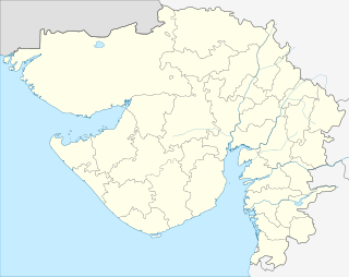 Chandroda  Chandroda Location in Gujarat, India | |
| Coordinates: 23°02′45″N 69°52′27″E / 23.045814°N 69.874249°ECoordinates: 23°02′45″N 69°52′27″E / 23.045814°N 69.874249°E | |
| Country |
|
| State | Gujarat |
| District | Kachchh |
| Panchayat | Gram Panchayat |
| Government | |
| • Mayer | Himatdan Gadhavi |
| Elevation | 27 m (89 ft) |
| Population (2001) | |
| • Total | 4,000 |
| Languages | |
| • Official | Gujarati, Hindi |
| Time zone | IST (UTC+5:30) |
| PIN | 370110 |
| Telephone code | 02836 |
| Vehicle registration | GJ-12 |
| Sex ratio | 0.894 ♂/♀ |
| Distance from Bhuj | 60 kilometres (37 mi) |
| Distance from Ahmedabad | 350 kilometres (220 mi) |
| Website |
gujaratindia |
Chandroda is a village 22 kilometres (14 mi) from the town of Anjar, in the taluka of Kutch district, Gujarat, India.[1] It has a population of around 4000.
There is a primary school in Chandroda.
References
- ↑ Directorate of Employment & Training, Government of Gujarat
This article is issued from Wikipedia - version of the 10/2/2016. The text is available under the Creative Commons Attribution/Share Alike but additional terms may apply for the media files.