Chapecó River
| Chapecó River | |
|---|---|
 Chapecó River (Brazil) | |
| Native name | Rio Chapecó |
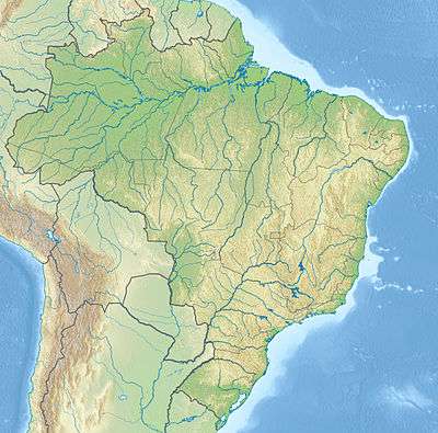
| Country | Brazil |
| Basin | |
| Main source | Santa Catarina state |
| River mouth |
Uruguay River 27°05′43″S 53°00′57″W / 27.095256°S 53.015777°WCoordinates: 27°05′43″S 53°00′57″W / 27.095256°S 53.015777°W |
| River system | Uruguay River |
The Chapecó River (Portuguese, Rio Chapecó[1]) is a river of Santa Catarina state in southeastern Brazil. It is a tributary of the Uruguay River.
The river is fed by streams rising in the Araucárias National Park, a 12,841 hectares (31,730 acres) conservation unit created in 2005.[2] Other headwaters rise in the 6,566 hectares (16,220 acres) Mata Preta Ecological Station, a fully protected area created in 2005.[3] The river supplies water to the municipality of Abelardo Luz, Santa Caterina. The Chapecó River Falls are one of the main attractions of the region.[4]
See also
References
- ↑ Rio Chapecó at GEOnet Names Server
- ↑ O Parque Nacional das Araucárias (in Portuguese), Apremavi: Associação de Preservação do Meio Ambiente e da Vida, retrieved 2016-04-29
- ↑ ESEC da Mata Preta (in Portuguese), ISA: Instituto Socioambiental, retrieved 2016-07-18
- ↑ "A Estação Ecológica da Mata Preta", Apremavi (in Portuguese), retrieved 2016-07-18
This article is issued from Wikipedia - version of the 7/18/2016. The text is available under the Creative Commons Attribution/Share Alike but additional terms may apply for the media files.