Chatham Island (Western Australia)
For other uses, see Chatham Island.
 Chatham Island from Long Point at D'Entrecasteaux National Park | |
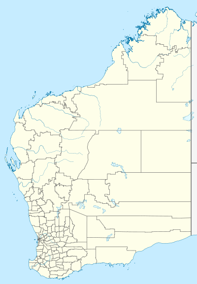 Chatham Island Chatham Island (Western Australia) | |
| Geography | |
|---|---|
| Location | Indian Ocean |
| Coordinates | 35°2′S 116°30′E / 35.033°S 116.500°ECoordinates: 35°2′S 116°30′E / 35.033°S 116.500°E |
| Area | 0.99 km2 (0.38 sq mi) |
| Length | 1.4 km (0.87 mi) |
| Width | 0.93 km (0.578 mi) |
| Administration | |
|
Australia | |
| State | Western Australia |
| Region | Great Southern |
| Shire | Shire of Manjimup |
| Demographics | |
| Population | 0 |
Chatham Island is located in the South Ward (Walpole) of Manjimup Shire in the Great Southern region of Western Australia. It is approximately 1.1 km (0.68 mi) offshore from D'Entrecasteaux National Park and 3 km (1.9 mi) offshore from Mandalay Beach.[1] Declared a class 1A Nature reserve in 1973, the island has a total area of 106 hectares (260 acres).[2]
Named as Cape Chatham by George Vancouver aboard the HMS Discovery in 1791, the island was subsequently renamed as Chatham Island.[3]
References
- ↑ "D'Entrecasteaux National Park". Naturebase Parkfinder. 2008. Archived from the original on 22 May 2008. Retrieved 10 May 2008.
- ↑ "Terrestrial Protected Areas of WA". 2004. Retrieved 10 May 2008.
- ↑ "Walpole-Nornalup National Park Management Plan" (PDF). 2002. Retrieved 10 May 2008.
This article is issued from Wikipedia - version of the 11/20/2016. The text is available under the Creative Commons Attribution/Share Alike but additional terms may apply for the media files.