Chelston
| Chelston Chakunkula Chelstone | |
|---|---|
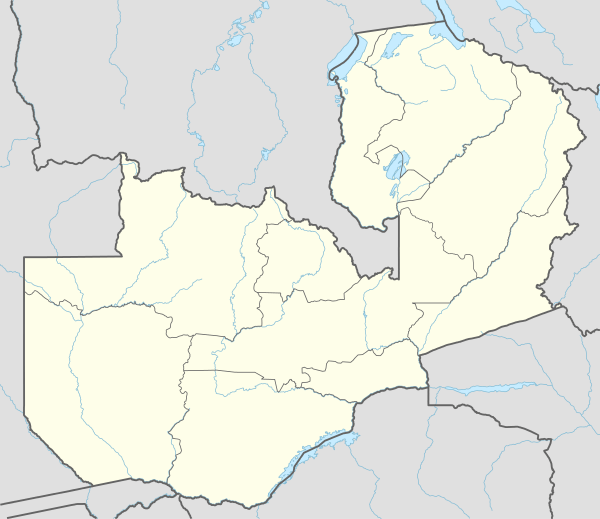 Chelston Location in Zambia | |
| Coordinates: 15°21′57″S 28°23′07″E / 15.36583°S 28.38528°ECoordinates: 15°21′57″S 28°23′07″E / 15.36583°S 28.38528°E | |
| Country |
|
| Province | Lusaka |
Chelston, also Chelstone or Chakunkula, is a neighborhood in Zambia's capital city, Lusaka.
Location
Chelston is approximately 8 kilometres (5 mi),[1] by road, northeast of downtown Lusaka, north of the highway (T4), between Lusaka and Chipata. To Chelson's west are the neighborhoods of Munali and Kamanga. To the south is the T4 Highway. To the east is the Airport Road, leading to Kenneth Kaunda International Airport (KKIA). To the north is the swamp that lies east of KKIA.[2] The geographical coordinates of Chelston are: 15°21'57.0"S, 28°23'07.0"E (Latitude:-15.365823; Longitude:28.385265).[3]
Overview
Chelston is a middle-class residential neighborhood. The predominant residences are single family homes for civil servants[4] and other workers in the city.
See also
References
- ↑ GFC (16 April 2016). "Distance between Lusaka, Zambia and Chelston, Lusaka, Zambia". Globefeed.com (GFC). Retrieved 16 April 2016.
- ↑ Google (16 April 2016). "Map Showing the Boundaries of Chelston, Lusaka" (Map). Google Maps. Google. Retrieved 16 April 2016.
- ↑ Google (16 April 2016). "Locationof Chelston, Lusaka (Chakunkula)" (Map). Google Maps. Google. Retrieved 16 April 2016.
- ↑ Nyondo, Linda (14 January 2016). "Chelston houses near completion". Zambia Daily Mail. Lusaka. Retrieved 16 April 2016.