Chipata Airport
| Chipata Airport | |||||||||||
|---|---|---|---|---|---|---|---|---|---|---|---|
| IATA: CIP – ICAO: FLCP | |||||||||||
| Summary | |||||||||||
| Airport type | Military/Civilian | ||||||||||
| Location | Chipata, Zambia | ||||||||||
| Elevation AMSL | 3,359 ft / 1,024 m | ||||||||||
| Coordinates | 13°33′25″S 32°35′13″E / 13.55694°S 32.58694°E | ||||||||||
| Map | |||||||||||
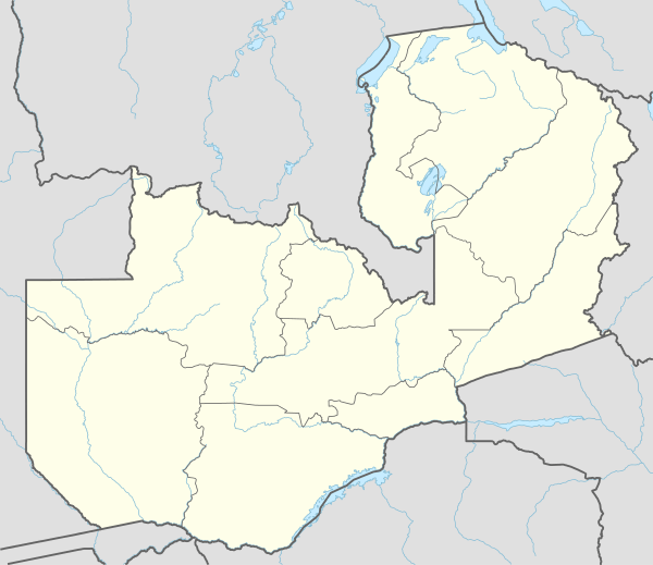 ZSE Location of the airport in Zambia | |||||||||||
| Runways | |||||||||||
| |||||||||||
Chipata Airport is an airport in Chipata, Zambia.
Location
Chipata Airport (IATA: CIP, ICAO: FLCP) is located in eastern Zambia, near the town of Chipata, approximately 500 kilometres (310 mi), by air, northeast of Lusaka International Airport, the country’s largest civilian and military airport.[1]
This location is approximately 15 kilometres (9.3 mi) by road, northwest of the central business district of the town of Chipata.[2]
Airlines and destinations
| Airlines | Destinations |
|---|---|
| Proflight Zambia | Lusaka |
References
External links
- Accident history for CIP at Aviation Safety Network
- Airport information for FLCP at Great Circle Mapper.
- Current weather for FLCP at NOAA/NWS
- Airport information for FLCP at World Aero Data. Data current as of October 2006.
This article is issued from Wikipedia - version of the 11/27/2016. The text is available under the Creative Commons Attribution/Share Alike but additional terms may apply for the media files.