Chuqu Chuquni (Bolivia)
For the mountain in Peru, see Chuqu Chuquni.
| Chuqu Chuquni | |
|---|---|
 Chuqu Chuquni | |
| Highest point | |
| Elevation | 4,522 m (14,836 ft) [1] |
| Coordinates | 18°53′29″S 68°34′05″W / 18.89139°S 68.56806°WCoordinates: 18°53′29″S 68°34′05″W / 18.89139°S 68.56806°W |
| Geography | |
| Location |
Bolivia Oruro Department |
| Parent range | Andes |
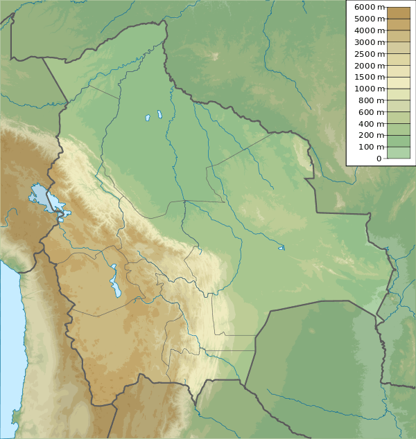
Chuqu Chuquni (Aymara chuqu chuqu icicle,[2] -ni a suffix, "the one with many icicles", Hispanicized spelling Chokho Chokhoni, erroneously also Chokhoni) is a 4,522-metre-high (14,836 ft) mountain in the Andes of Bolivia. It is located in the Oruro Department, Sabaya Province, Sabaya Municipality, southwest of the village of Tunapa. Pacha Qullu lies northwest of Inka Qhamachu.[3] Chuqu Chuquni lies southwest of Pacha Qullu and northwest of Pumiri.[1]
References
- 1 2 Bolivian IGM map 1:50,000 Carangas 5837-II
- ↑ Radio San Gabriel, "Instituto Radiofonico de Promoción Aymara" (IRPA) 1993, Republicado por Instituto de las Lenguas y Literaturas Andinas-Amazónicas (ILLLA-A) 2011, Transcripción del Vocabulario de la Lengua Aymara, P. Ludovico Bertonio 1612 (Spanish-Aymara-Aymara-Spanish dictionary)
- ↑ "Sabaya". Retrieved January 19, 2016. (unnamed)
Capital: Oruro | ||
| Provinces |  | |
| Municipalities (and seats) |
| |
This article is issued from Wikipedia - version of the 5/5/2016. The text is available under the Creative Commons Attribution/Share Alike but additional terms may apply for the media files.