Church Fenton
| Church Fenton | |
 Nanny Lane, Church Fenton |
|
 Church Fenton |
|
| Population | 1,392 (2011)[1] |
|---|---|
| OS grid reference | SE513368 |
| – London | 150 mi (240 km) SSE |
| Civil parish | Church Fenton |
| District | Selby |
| Shire county | North Yorkshire |
| Region | Yorkshire and the Humber |
| Country | England |
| Sovereign state | United Kingdom |
| Post town | TADCASTER |
| Postcode district | LS24 |
| Dialling code | 01937 |
| Police | North Yorkshire |
| Fire | North Yorkshire |
| Ambulance | Yorkshire |
| EU Parliament | Yorkshire and the Humber |
| UK Parliament | Selby and Ainsty |
Coordinates: 53°49′30″N 1°13′16″W / 53.825101°N 1.221023°W
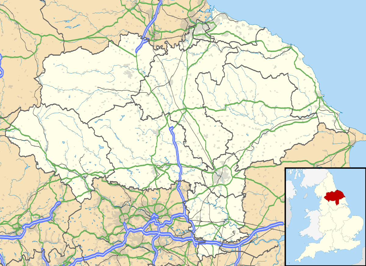
Church Fenton is a village and civil parish in the Selby district of North Yorkshire, England. It is about 16 miles (26 km) east of Leeds, about 6 miles (10 km) south-east from Tadcaster and 3 miles (5 km) north from Sherburn-in-Elmet. Neighbouring villages include Cawood and Ulleskelf.
The name 'Church Fenton' means a village with a church in fen or marshland.[2] The village was recorded along with nearby Little Fenton as Fentun in the Domesday Book of 1086.
Church Fenton's website contains a history, and details of local groups and events.[3] The village has a post office and two public houses: The White Horse and The Fenton Flyer. Village commuters are served by Church Fenton railway station. The village is also home to a Met Office Weather station.[4]
The former RAF Church Fenton is located immediately north-east.[5]
The studio scenes for the 2016 television series Victoria were filmed in a converted aircraft hangar in Church Fenton.[6]
Climate
| Climate data for Church Fenton, North Yorkshire 1981–2010 | |||||||||||||
|---|---|---|---|---|---|---|---|---|---|---|---|---|---|
| Month | Jan | Feb | Mar | Apr | May | Jun | Jul | Aug | Sep | Oct | Nov | Dec | Year |
| Average high °C (°F) | 7.0 (44.6) |
7.5 (45.5) |
10.1 (50.2) |
12.6 (54.7) |
16.0 (60.8) |
18.8 (65.8) |
21.2 (70.2) |
20.8 (69.4) |
18.0 (64.4) |
13.9 (57) |
9.9 (49.8) |
7.1 (44.8) |
13.58 (56.43) |
| Average low °C (°F) | 1.0 (33.8) |
0.9 (33.6) |
2.5 (36.5) |
3.8 (38.8) |
6.6 (43.9) |
9.6 (49.3) |
11.8 (53.2) |
11.7 (53.1) |
9.5 (49.1) |
6.7 (44.1) |
3.5 (38.3) |
1.1 (34) |
5.73 (42.31) |
| Average precipitation mm (inches) | 50.3 (1.98) |
37.3 (1.469) |
45.5 (1.791) |
46.3 (1.823) |
42.6 (1.677) |
54.8 (2.157) |
50.2 (1.976) |
57.9 (2.28) |
51.2 (2.016) |
56.7 (2.232) |
53.9 (2.122) |
56.6 (2.228) |
603.3 (23.751) |
| Average precipitation days | 10.8 | 8.5 | 9.9 | 9.0 | 8.9 | 8.9 | 8.6 | 9.4 | 8.3 | 10.1 | 11.0 | 10.6 | 114 |
| Mean monthly sunshine hours | 53.9 | 82.5 | 115.6 | 154.8 | 210.7 | 189.3 | 205.9 | 182.8 | 147.1 | 108.1 | 70.0 | 53.0 | 1,573.7 |
| Source: Met Office[7] | |||||||||||||
References
- ↑ "Parish population 2011". Neighbourhood Statistics. Office for National Statistics. Retrieved 14 August 2015.
- ↑ List of generic forms in place names in the United Kingdom and Ireland
- ↑ Mark Richardson : www.dark-moon.net. "Church Fenton Community Web Site". church-fenton.net. Retrieved 30 July 2016.
- ↑ "Church Fenton last 24 hours weather - Met Office". metoffice.gov.uk. Retrieved 30 July 2016.
- ↑ "Royal Air Force Church Fenton". rafchurchfenton.org.uk. Retrieved 30 July 2016.
- ↑ Daily Mail online 18 September 2016
- ↑ "Church Fenton Climatic Averages 1981-2010". Met Office. Retrieved 22 December 2012.
External links
 Media related to Church Fenton at Wikimedia Commons