Clonava
| Clonava Cluain Ámha | |
|---|---|
| Townland | |
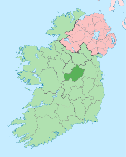
 Clonava Location of Clonava within County Westmeath in the Republic of Ireland | |
| Coordinates: 53°39′55″N 7°24′59″W / 53.66528°N 7.41639°WCoordinates: 53°39′55″N 7°24′59″W / 53.66528°N 7.41639°W | |
| Country |
|
| Province | Leinster |
| County | County Westmeath |
| Irish grid reference | N386685 |
Clonava (Irish: Cluain Ámha)[1] is a townland in County Westmeath, Ireland. It is located about 16.31 kilometres (10 mi) north of Mullingar.
Clonava is one of 35 townlands of the civil parish of Street in the barony of Moygoish in the Province of Leinster. The townland covers 1,125 acres (4.55 km2), including 35 acres (0.14 km2) of water; part of the western end of Lough Derravaragh and the majority of the small lake, Lough Ruddan. The townland contains the settlement of Clonave.
The neighbouring townlands are: Coolnagun to the north, Shrubbywood to the north–east. Derrya to the east, Lackan and Lackanwood to the south and Clonkeen and Bottomy to the west.[2][3]
In the 1911 census of Ireland there were 15 houses[4] and 63 inhabitants[5] in the townland.
References
- ↑ Clonava Townland The Placenames Database of Ireland Retrieved on 31 August 2015.
- ↑ Clonava Townland, Co. Westmeath Townlands.ie Retrieved on 31 August 2015.
- ↑ Clonava Townland, Co. Westmeath The IreAtlas Townland Data Base Retrieved on 31 August 2015.
- ↑ Houses in Clonava. Census of Ireland 1911. Retrieved on 31 August 2015.
- ↑ Inhabitants in Clonava. Census of Ireland 1911. Retrieved on 31 August 2015.
External links
- Map of Clonava at openstreetmap.org
- Clonava at the IreAtlas Townland Data Base
- Clonava at Townlands.ie
- Clonava at The Placenames Database of Ireland, Department of Arts, Heritage and the Gaeltacht