Collins Archeological District
|
Collins Archeological District | |
 | |
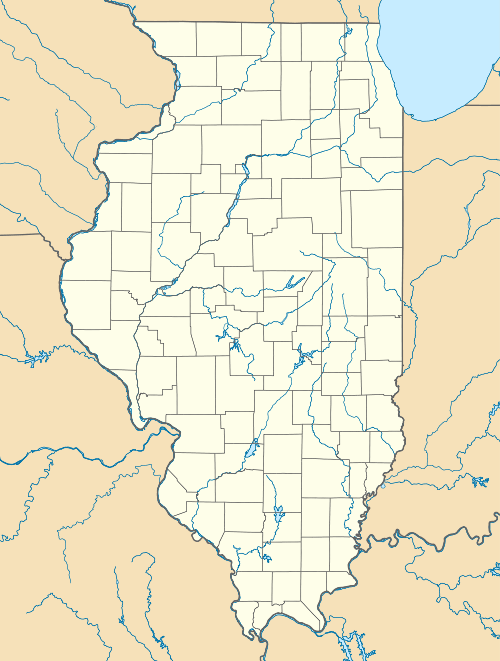  | |
| Location | West of Lake Mingo at Kennekuk County Park, Danville, Illinois |
|---|---|
| Coordinates | 40°12′28″N 87°44′32″W / 40.20778°N 87.74222°WCoordinates: 40°12′28″N 87°44′32″W / 40.20778°N 87.74222°W |
| Area | 113 acres (46 ha) |
| NRHP Reference # | 79000872[1] |
| Added to NRHP | August 3, 1979 |
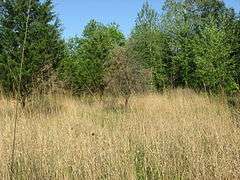
The Collins Archeological District is a pre-Columbian archaeological site located in Kennekuk County Park in Vermilion County, Illinois. The site dates from the Late Woodland period and was used roughly from 900 to 1100 A.D. The core of the site includes two mounds and a ceremonial area. The inhabitants of the region used the site for ceremonial purposes, and the ceremonies conducted at the site were influenced by Mississippian traditions. The site provides evidence of the spread of Mississippian culture from Cahokia to other peoples and regions.[2]
The site was added to the National Register of Historic Places on August 3, 1979.[1]
References
- 1 2 National Park Service (2010-07-09). "National Register Information System". National Register of Historic Places. National Park Service.
- ↑ Maruszak, Kathleen. National Register of Historic Places Inventory/Nomination: Collins Archeological District. National Park Service, 1977-04.
| Topics | |
|---|---|
| Lists by states |
|
| Lists by insular areas | |
| Lists by associated states | |
| Other areas | |
| |
This article is issued from Wikipedia - version of the 11/30/2016. The text is available under the Creative Commons Attribution/Share Alike but additional terms may apply for the media files.