Cranberry Junction
| Cranberry Junction | |
|---|---|
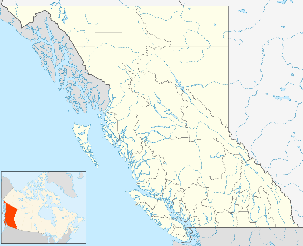 Cranberry Junction Location of Cranberry Junction in British Columbia | |
| Coordinates: 55°34′00″N 128°36′00″W / 55.56667°N 128.60000°WCoordinates: 55°34′00″N 128°36′00″W / 55.56667°N 128.60000°W | |
| Country |
|
| Province |
|
| Area code(s) | 250, 778 |
Cranberry Junction is an unincorporated community in northwestern British Columbia, Canada, located at the junction of the Nisga'a Highway and the Dease Lake Highway (aka the Stewart-Cassiar Highway or BC Highway 37). The name derives from the junctions location on the south bank of the Cranberry River, and was made official in 1979 in response to the rapid growth of this junction town.
See also
References
This article is issued from Wikipedia - version of the 12/22/2014. The text is available under the Creative Commons Attribution/Share Alike but additional terms may apply for the media files.