Crowntown
| Crowntown | |
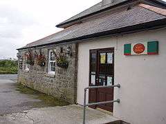 Post office at the Crown Inn, Crowntown |
|
 Crowntown |
|
| OS grid reference | SW636308 |
|---|---|
| Civil parish | Sithney |
| Unitary authority | Cornwall |
| Ceremonial county | Cornwall |
| Region | South West |
| Country | England |
| Sovereign state | United Kingdom |
| EU Parliament | South West England |
Coordinates: 50°07′48″N 5°18′32″W / 50.130°N 5.309°W
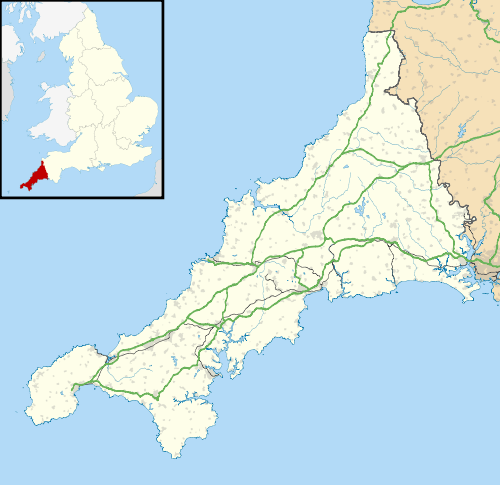
Crowntown is a hamlet on the B3303 road south of Nancegollan in west Cornwall, England.[1][2]
References
Cornwall Portal | |
| Unitary authorities | |
| Major settlements |
|
| Rivers | |
| Topics | |
This article is issued from Wikipedia - version of the 1/19/2016. The text is available under the Creative Commons Attribution/Share Alike but additional terms may apply for the media files.