Curuaés River
| Curuaés River | |
|---|---|
 Curuaés River (Brazil) | |
| Native name | Rio Curuaés |
| Country | Brazil |
| Basin | |
| Main source | Pará state |
| River mouth | 7°24′45″S 54°47′12″W / 7.412502°S 54.786728°WCoordinates: 7°24′45″S 54°47′12″W / 7.412502°S 54.786728°W |
| River system | Curuá River |
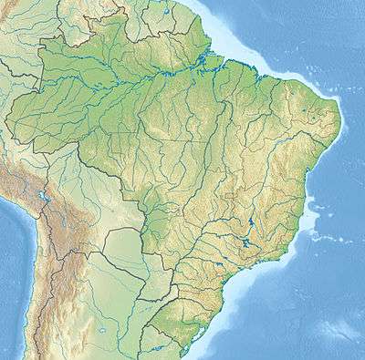
The Curuaés River is a river of Pará state in north-central Brazil. It is a right tributary of the Curuá River in the Xingu River basin.
The river rises in the 342,192 hectares (845,570 acres) Nascentes da Serra do Cachimbo Biological Reserve, a strictly protected conservation unit established in 2005. It is one of the headwaters of the Xingu River.[1] It flows through the 724,965 hectares (1,791,430 acres) Altamira National Forest, a sustainable use conservation unit created in 1998.[2]
See also
References
- ↑ Unidade de Conservação: Reserva Biológica Nascentes Serra do Cachimbo (in Portuguese), MMA: Ministério do Meio Ambiente, retrieved 2016-05-27
- ↑ Unidade de Conservação: Floresta Nacional Altamira (in Portuguese), MMA: Ministério do Meio Ambiente, retrieved 2016-05-29
This article is issued from Wikipedia - version of the 5/29/2016. The text is available under the Creative Commons Attribution/Share Alike but additional terms may apply for the media files.