Cutral Có Airport
| Cutral Có Airport Aeropuerto de Cutral Có | |||||||||||||||
|---|---|---|---|---|---|---|---|---|---|---|---|---|---|---|---|
| IATA: CUT – ICAO: SAZW | |||||||||||||||
| Summary | |||||||||||||||
| Airport type | Public | ||||||||||||||
| Serves | Cutral Có | ||||||||||||||
| Elevation AMSL | 650 ft / 2,133 m | ||||||||||||||
| Coordinates | 38°56′23″S 69°15′53″W / 38.93972°S 69.26472°WCoordinates: 38°56′23″S 69°15′53″W / 38.93972°S 69.26472°W | ||||||||||||||
| Map | |||||||||||||||
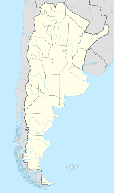
 CUT Location in Argentina | |||||||||||||||
| Runways | |||||||||||||||
| |||||||||||||||
Cutral Có Airport (IATA: CUT, ICAO: SAZW) is an airport serving Cutral Có, Neuquén province, Argentina. The airport covers and area of 260 hectares (640 acres), and has a 400-square-metre (4,300 sq ft) covered terminal.[3]
Accidents and incidents
- 14 April 1976: A Yacimientos Petrolíferos Fiscales Avro 748, registration LV-HHB, that was transferring staff between Rincón de los Sauces and Cutral Có, crashed 35 kilometres (22 mi) north of the intended destination. The aircraft was approximately half an hour into the flight, at 4,000 feet (1,200 m), when both the starboard wing and the starboard horizontal stabiliser detached from the fuselage, causing the aircraft to corkscrew to the earth, crashing and bursting into flames. All 34 occupants of the aircraft —31 passengers and a crew of three— perished in the accident.[4][5]
See also
 Argentina portal
 Aviation portal
- List of airports in Argentina
References
- ↑ Airport information for Cutralcó Airport at World Aero Data. Data current as of October 2006.
- ↑ Airport information for Cutralcó Airport at Great Circle Mapper. Source: DAFIF (effective October 2006).
- 1 2 "Aeropuerto de Cutral Có". Organismo Regulador del Sistema Nacional de Aeropuertos (ORSNA). Archived from the original on 3 October 2012. Retrieved 18 June 2012.
- ↑ Accident description for LV-HHB at the Aviation Safety Network. Retrieved on 18 June 2012.
- ↑
- "Report No: 11/1977. Report on the accident to Hawker Siddeley HS 748, LV-HHB, 35 km North of Cutral-Có (Neuquén Province), Argentina, 14 April 1976" (PDF). Accidents Investigation Branch. January 1978. Archived from the original (PDF) on 5 May 2014. Retrieved 18 June 2012.
- "Report Appendices" (PDF). Archived from the original (PDF) on 5 May 2014. Retrieved 18 June 2012.
This article is issued from Wikipedia - version of the 12/3/2016. The text is available under the Creative Commons Attribution/Share Alike but additional terms may apply for the media files.