Dairy Flat
| Dairy Flat | |
|---|---|
 Dairy Flat | |
| Coordinates: 36°39′24″S 174°38′29″E / 36.65667°S 174.64139°E | |
| Country | New Zealand |
| Region | Auckland Region |
| District | Rodney District |
| Population (2006) | |
| • Total | 2,151 |
Coordinates: 36°39′07″S 174°38′54″E / 36.651929°S 174.648328°E
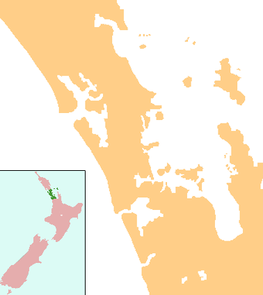
Dairy Flat is a rural district 8 km south of Orewa beach in the North Island of New Zealand, 28 km north of central Auckland. Until the early 1990s most of the district was in dairy farms of 40 to 60 hectares (100 to 150 acres), but with the growth of Auckland City and the extension of the Northern Motorway into the area, these are being gradually subdivided into lifestyle blocks of around 2 to 5 hectares (5 to 12 acres), many of which are grazing sheep, horses, beef cattle or deer. Although it still retains a rural character, it is counted as part of the Auckland urban area in official statistics.
The population of Dairy Flat and the surrounding area was 2,151 in the 2006 Census, an increase of 504 from 2001.[1]
'Dairy Flat' lies within the Rodney District on State Highway 1 and State Highway 17.[2][3]
There is a small village shopping centre and the Dairy Flat Primary School. A major facility is the North Shore Aerodrome owned and operated by the North Shore Aero Club. In addition to aero club and private aircraft, the field is used by Barrier Air to run a scheduled air service in passenger aircraft to Great Barrier Island, some 40 nm (75 km) offshore.
Education
Dairy Flat School is a coeducational full primary (years 1-8) school with a decile rating of 10 and a roll of 219.[4] The school was established in 1878.[5]
The secondary schools serving Dairy Flat are Orewa College, Westlake Boys High School, Westlake Girls High School, Long Bay College and Rangitoto College.[6]
References
- ↑ Quickstats about Dairy Flat-Redvale
- ↑ Peter Dowling (editor) (2004). Reed New Zealand Atlas. Reed Books. map 11. ISBN 0-7900-0952-8.
- ↑ Roger Smith, GeographX (2005). The Geographic Atlas of New Zealand. Robbie Burton. map 35. ISBN 1-877333-20-4.
- ↑ "Te Kete Ipurangi - Dairy Flat School". Ministry of Education.
- ↑ "Dairy Flat School - Home Page". Dairy Flat School. Retrieved 2008-09-02.
- ↑ "About Our School". Dairy Flat School. Retrieved 2008-09-02.