Dakshinkali
| Dakshinkali Municipality दक्षिणकाली नगरपालिका | |
|---|---|
| Municipality | |
|
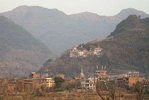
Dakshinkali in 2009 | |
 | |
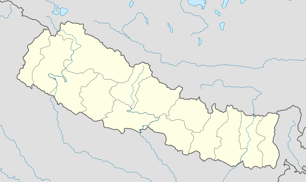 Dakshinkali Municipality Location in Nepal | |
| Coordinates: 27°35′0″N 85°15′0″E / 27.58333°N 85.25000°ECoordinates: 27°35′0″N 85°15′0″E / 27.58333°N 85.25000°E | |
| Country |
|
| Region | Central |
| Zone | Bagmati Zone |
| District | Kathmandu District |
| Established | December 2014 |
| Area | |
| • Total | 42.6 km2 (16.4 sq mi) |
| Population (2011 Nepal census) | |
| • Total | 24,297 |
| • Density | 570/km2 (1,500/sq mi) |
| • Ethnicities | Newar, Bahun, Chhetri, Tamang, Magar |
| Time zone | NST (UTC+5:45) |
| Website |
www |
Dakshinkali is a municipality in the Central development region of Kathmandu District in the Bagmati Zone of Nepal. The new municipality was formed by merging six existing villages —Chalnakhel, Chhaimale, Dakshinkali, Sheshnarayan, Sokhek and Talkududechour— on 02 Dec 2014.[1][2] The office of the municipality is that of the former Balambu village development committee.
Population
Dakshinkali municipality has a total population of 24,297 according to 2011 Nepal census.[3]
References
- ↑ "Govt announces 61 municipalities". The Kathmandu Post. 3 December 2014. Retrieved 2 December 2014.
- ↑ "Govt creates 61 new municipalities". República. 3 Dec 2014. Retrieved 2 Dec 2014.
- ↑ "2011 Nepal census (Ward Level)" (PDF). Central Bureau of Statistics. November 2012. Archived from the original (PDF) on July 31, 2013. Retrieved November 2012. Check date values in:
|access-date=(help)
External links
See also
Headquarter: Kathmandu | |||
 |  | ||
| Wikimedia Commons has media related to Dakshinkali. |
This article is issued from Wikipedia - version of the 7/27/2016. The text is available under the Creative Commons Attribution/Share Alike but additional terms may apply for the media files.