Dalton, Hambleton
Coordinates: 54°10′51″N 1°20′08″W / 54.180845°N 1.335660°W
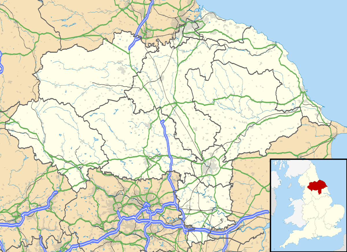
Dalton is a village and civil parish in the Hambleton district of North Yorkshire, England. It is about 4 miles south of Thirsk and near the A168 road.It mainly consists of farmland as well as an industrial estate. It has a population of 518.[1]
In 1870, John Marius Wilson's said that:
- Dalton, a township in Topcliffe parish, N. R. Yorkshire; on the Great North of England railway, 4¼ miles S of Thirsk. Acres, 1, 247. Real property, £1, 709. Pop., 307. Houses, 77. There are chapels for Wesleyans and Primitive Methodists.
.jpg)

.[2]
History
In 1890 Dalton was made up of 2,649 acres of land and 177 acres were covered in plantations. Some of it was elevated moorland and the rest was fertile land. A small ‘chapel of ease’ was created here in 1839 in which a service used to be held every second Sunday morning of the month, and every evening on all the other Sundays. In 1855 the Wesleyan Methodist Chapel was created which was described as “a very small and plain building”.
Dalton is mentioned in the Domesday book. Dalton had 10.2 households in 1066 which is quite a small amount in comparison to other parishes according to the Domesday book. The total tax assessed is 5.2 geld units, which is quite large for a parish. The Lord in 1066 was called Bernwulf and the value to the lord was £4. The Lord as well as tenant-in-chief in 1086 was William of Percy and the value was £5. Dalton had 15 ploughlands, one mill, one church and four furlongs worth of woodland.[3] During the Second World War, RAF Dalton was used as an airfield by RAF Bomber Command. It was home to No.102 Squadron in November 1941. In 1943 it was allocated to No.6 Group Royal Canadian Air Force (RCAF).
Geography
The distance from London to Dalton is 222 miles. The closest railway station is Thirsk station at a distance of 5 miles.[4]
Demographics
Occupation history
In 1881 the dominant occupation was in agriculture with 40 males in that profession. In 2011 this had changed to 32 males becoming Managers, Directors and Senior Officials in Dalton.[5] In 1881 the main profession for females was domestic services or offices, by 2011 this had changed to 16 women being Managers and Senior professionals.[6]
Housing
The average price of a property in North Yorkshire is £193,666. In the postcode region YO7 the average for all properties is £224,608.[7] In 1881 there were 67 houses, by 1951 this had increased to 104 and then 10 years later, in 1961 decreased to 83.[8] Between 1881 and 1901 there were six houses vacant and none being reconstructed, this means that many houses must have been built by 1951.[9]
Education
Currently,there are ten schools with a three-mile radius of Dalton, such as Topcliffe-pre school playgroup which is 1.7 miles away. According to the 2009 Ofsted report, the ‘Overall effectiveness’ was given a score of 2.[10] Primary schools include Cundall Manor Preparatory School, Sessay Church of England Volantary Controlled Primary School and Queen Mary’s School.[11]


References
- ↑ "Dalton, (Hambleton): Key Figures for 2011 Census: Key Statistics:". Neighbourhood Statistics. Office for National Statistics. Retrieved 4 February 2013.
- ↑ Wilson, John (1870–72). Gazetteer of the British Isles (1st ed.). Edinburgh: Bartholomew. Retrieved 4 February 2013.
- ↑ Powell-Smith, Anna. "Place: Dalton". Domesday Book. Phillimore & Co. Retrieved 22 April 2013.
- ↑ NetMovers. "Chapel Row, Thirsk, North Yorkshire, YO7". NetMovers. Retrieved 22 April 2013.
- ↑ "Dalton CP/Tn". A Vision of Britain through time. Retrieved 1 May 2013.
- ↑ "Occupation Males – 2011". Neighbourhood Statistics. Retrieved 1 May 2013.
- ↑ "Property values in North Yorkshire". Zoopla. Retrieved 1 May 2013.
- ↑ "Historical Statistics – Housing". A Vision of Britain through time. Retrieved 1 May 2013.
- ↑ "Historical Statistics". A Vision of Britain through time. Retrieved 1 May 2013.
- ↑ "Topcliffe Pre-School Playgroup". Ofsted. Retrieved 1 May 2013.
- ↑ NetMovers. "Chapel Row, Thirsk, North Yorkshire, YO7". NetMovers. Retrieved 22 April 2013.
External links
![]() Media related to Dalton, Hambleton at Wikimedia Commons
Media related to Dalton, Hambleton at Wikimedia Commons