Dawei Airport
| Dawei Airport | |||||||||||
|---|---|---|---|---|---|---|---|---|---|---|---|
 | |||||||||||
| IATA: TVY – ICAO: VYDW | |||||||||||
| Summary | |||||||||||
| Airport type | Public | ||||||||||
| Operator | Government | ||||||||||
| Serves | Dawei, Myanmar (Burma) | ||||||||||
| Elevation AMSL | 84 ft / 26 m | ||||||||||
| Coordinates | 14°06′13″N 098°12′13″E / 14.10361°N 98.20361°E | ||||||||||
| Map | |||||||||||
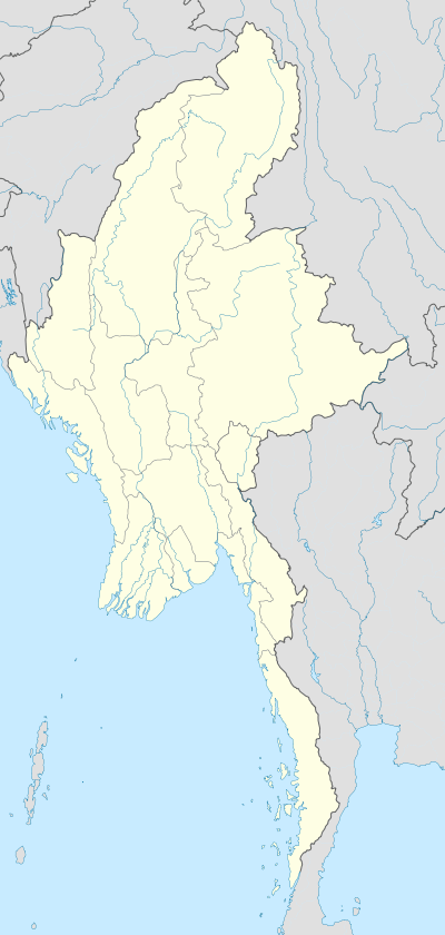 TVY Location of airport in Burma | |||||||||||
| Runways | |||||||||||
| |||||||||||
Dawei Airport (IATA: TVY, ICAO: VYDW) is an airport serving Dawei[1] (formerly known as Tavoy), a city in the Tanintharyi Division in southeastern Burma.
Facilities
The airport resides at an elevation of 84 feet (26 m) above mean sea level. It has one runway designated 16/34 with a concrete surface measuring 3,661.5 by 30 metres (12,013 ft × 98 ft).[1]
Airlines and destinations
| Airlines | Destinations | Route |
|---|---|---|
| Air Bagan | Kawthaung, Myeik, Yangon | Domestic |
| Myanmar National Airlines | Maulmyine, Yangon | Domestic |
References
- 1 2 3 Airport information for VYDW from DAFIF (effective October 2006)
- ↑ Airport information for TVY at Great Circle Mapper. Source: DAFIF (effective October 2006).
External links
This article is issued from Wikipedia - version of the 11/27/2016. The text is available under the Creative Commons Attribution/Share Alike but additional terms may apply for the media files.