Defiance Memorial Airport
| Defiance Memorial Airport | |||||||||||
|---|---|---|---|---|---|---|---|---|---|---|---|
| IATA: DFI – ICAO: KDFI – FAA LID: DFI | |||||||||||
| Summary | |||||||||||
| Airport type | Public | ||||||||||
| Owner | Board of County Commissioners | ||||||||||
| Serves | Defiance, Ohio | ||||||||||
| Elevation AMSL | 707 ft / 215 m | ||||||||||
| Coordinates | 41°20′15″N 084°25′44″W / 41.33750°N 84.42889°W | ||||||||||
| Map | |||||||||||
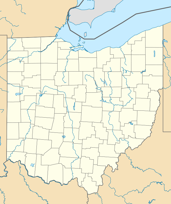 DFI  DFI Location of airport in Ohio/United States | |||||||||||
| Runways | |||||||||||
| |||||||||||
| Statistics (2006) | |||||||||||
| |||||||||||
Defiance Memorial Airport (IATA: DFI, ICAO: KDFI, FAA LID: DFI) is a public use airport located four nautical miles (7 km) northwest of the central business district of Defiance, in Defiance County, Ohio, United States. It is owned by the Board of County Commissioners.[1]
Facilities and aircraft
Defiance Memorial Airport covers an area of 314 acres (127 ha) at an elevation of 707 feet (215 m) above mean sea level. It has one runway designated 12/30 with an asphalt surface measuring 4,197 by 72 feet (1,279 x 22 m).[1]
For the 12-month period ending October 25, 2006, the airport had 9,130 aircraft operations, an average of 25 per day: 78% general aviation, 22% air taxi and <1% military. At that time there were 20 aircraft based at this airport: 90% single-engine, 5% multi-engine and 5% ultralight.[1]
References
External links
- TAS Aviation, the fixed-base operator (FBO)
- Aerial photo as of 2 April 1994 from USGS The National Map
- FAA Terminal Procedures for DFI, effective November 10, 2016
- Resources for this airport:
- FAA airport information for DFI
- AirNav airport information for KDFI
- ASN accident history for DFI
- FlightAware airport information and live flight tracker
- NOAA/NWS latest weather observations
- SkyVector aeronautical chart, Terminal Procedures