Devaramane
| Devaramane ದೇವರಮನೆ Devara mane, ದೇವರ ಮನೆ | |
|---|---|
| town | |
|
Kalabhairaveshwara temple at Devaramane | |
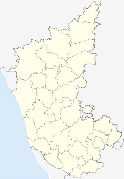 Devaramane  Devaramane Location in Karnataka, India | |
| Coordinates: 13°03′42″N 75°32′20″E / 13.061586°N 75.538752°ECoordinates: 13°03′42″N 75°32′20″E / 13.061586°N 75.538752°E | |
| Country |
|
| State | Karnataka |
| District | Chikkamagalur district |
| Government | |
| • MLA | Ningayya |
| Languages | |
| • Official | Kannada |
| Time zone | IST (UTC+5:30) |
| PIN | 577 113 |
| Telephone code | 08263 |
| Vehicle registration | KA-18 |
| Website | http://www.devaramane.org |

Devaramane (IPA: [deːvaːra:ma:ne] (Kannada: ದೇವರ ಮನೆ) is a village in Mudigere taluka, Chikkamagalur district in the state of Karnataka, India. The village is renowned for its Kalabhairaveshwara temple.
Transport
By Road: Regular buses ply from Bangalore (259 km), Chikmagalur (30 km), Hassan (62 km), Mangalore (124 km), Mysore (149 km) to Mudigere. Nearest Railway: Hassan (about 32 km from Mudigere) Banavara and Arasikere are also near Mudigere. Nearest Airport: BIAL, Bangalore about 259 km from Mudigere.
Agriculture & commerce
The primary mode of employment in the Devaramane region is agriculture. Crops grown include coffee, rice, finger millet, pepper, cardamom with paddy being dominant.
Geography
Belur is located at 13°03′42″N 75°32′20″E / 13.061586°N 75.538752°E
See also
References
External links
- Official website of devaramane temple
- Government website of Mudigere Town
- Minchukallu trek which starts from Devaramane