Doi Mae Salong
| Doi Mae Salong | |
|---|---|
| ดอยแม่สลอง | |
 Doi Mae Salong and Santikhiri town on the ridge | |
| Highest point | |
| Elevation | 1,367 m (4,485 ft) [1] |
| Listing | List of mountains in Thailand |
| Coordinates | 20°10′06″N 99°37′10″E / 20.16833°N 99.61944°ECoordinates: 20°10′06″N 99°37′10″E / 20.16833°N 99.61944°E [2] |
| Geography | |
 Doi Mae Salong | |
| Parent range | Daen Lao Range |
| Climbing | |
| First ascent | unknown |
| Easiest route | Hike or drive from Santikhiri |
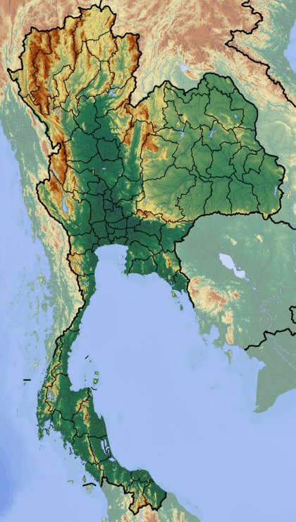
Doi Mae Salong (Thai: ดอยแม่สลอง) is a mountain in Thailand, part of the Daen Lao Range. It is located in the northern part of Chiang Rai Province only 6 km from the border with Burma.
This mountain rises in Mae Fa Luang District. Its summit is located near the town of Santikhiri which is built on the ridge.[3]
This mountain is famous because a Kuomintang military division created a settlement near it in 1961 after having been expelled from Burma.[4]

The mountain on the right, in the sunlight, is Doi Mae Salong; clouds release a downpour over the mountain on the left, rainy season, June 2014
See also
References
- ↑ Google Earth
- ↑ Google Earth
- ↑ Doi Mae Salong
- ↑ Bangkok Post - Doi Mae Salong
External links
This article is issued from Wikipedia - version of the 11/27/2016. The text is available under the Creative Commons Attribution/Share Alike but additional terms may apply for the media files.