Drawbridge Peak
| Drawbridge Peak | |
|---|---|
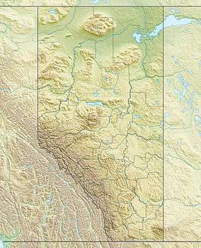 Drawbridge Peak Location in Alberta and British Columbia | |
| Highest point | |
| Elevation | 2,733 m (8,967 ft) [1] |
| Prominence | 184 m (604 ft) [2] |
| Coordinates | 52°42′13″N 118°19′34″W / 52.70361°N 118.32611°WCoordinates: 52°42′13″N 118°19′34″W / 52.70361°N 118.32611°W [3] |
| Geography | |
| Location | Alberta / British Columbia |
| Parent range | Park Ranges |
| Topo map | NTS 83D/09 |
Drawbridge Peak is located on the Continental Divide along the provincial borders of Alberta and British Columbia. The Alberta side is in Jasper National Park while Mount Robson Provincial Park is on the B.C. side. It was named in 1920 by the Interprovincial Boundary Survey.[1][2]
See also
- List of peaks on the British Columbia-Alberta border
- Mountains of Alberta
- Mountains of British Columbia
References
- 1 2 "Drawbridge Peak". PeakFinder.com. Retrieved 6 February 2010.
- 1 2 "Drawbridge Peak". Bivouac.com. Retrieved 6 February 2010.
- ↑ "Drawbridge Peak". BC Geographical Names. Retrieved 1 November 2013.
This article is issued from Wikipedia - version of the 5/19/2016. The text is available under the Creative Commons Attribution/Share Alike but additional terms may apply for the media files.