Dresba (air base)
| Dresba дресба | |||||||||||
|---|---|---|---|---|---|---|---|---|---|---|---|
 | |||||||||||
| IATA: none – ICAO: none | |||||||||||
| Summary | |||||||||||
| Airport type | Military | ||||||||||
| Operator | Russian Air Force | ||||||||||
| Location | Pevek | ||||||||||
| Elevation AMSL | 272[1] ft / 83[1] m | ||||||||||
| Coordinates | 69°21′48″N 161°33′42″E / 69.36333°N 161.56167°ECoordinates: 69°21′48″N 161°33′42″E / 69.36333°N 161.56167°E | ||||||||||
| Map | |||||||||||
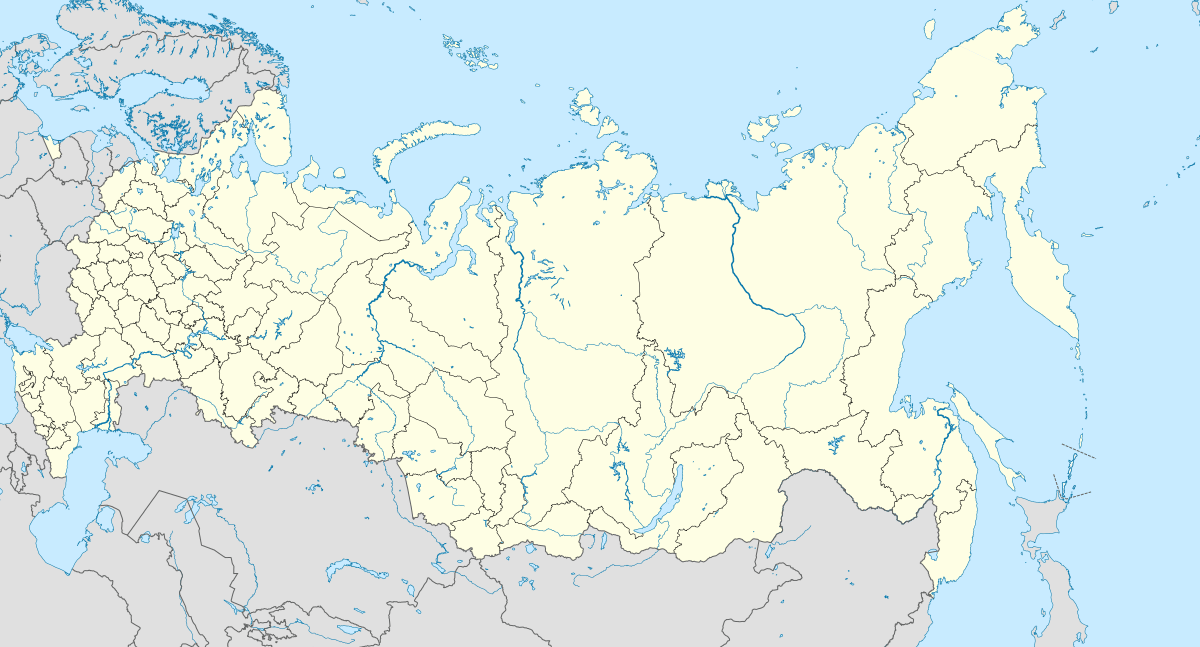 Dresba Location within Russia | |||||||||||
| Runways | |||||||||||
| |||||||||||
Dresba (Russian: дресба, also known as Krumaya) is an abandoned Russian military airfield in Bilibinsky District, Chukotka Autonomous Okrug, on the border with the Sakha Republic, located 41 km north of Petushki and near the now also abandoned settlement of Mikhalkino.[1]
History
Thought to have been constructed in the early 1960s, it was likely intended to be a strategic bomber staging base along the shore of the Arctic Ocean, though was never completed.[1] The position of the airfield would have given it access to northern resupply ship routes, and was presumably for either forward deployment or weather diversion for the Soviet Union's Tupolev Tu-95 and Tupolev Tu-22 bomber force. Preview images of declassified KH-5 satellite passes from August 1966 on the USGS Earth Explorer website show the aerodrome to be in new condition.[1] A radar facility exists on satellite imagery 14 km northwest of the airfield.[1]
See also
Other abandoned arctic staging bases: