Dunster, British Columbia
| Dunster, British Columbia | |
|---|---|
| Community | |
|
GTP Station at Dunster (1920s) | |
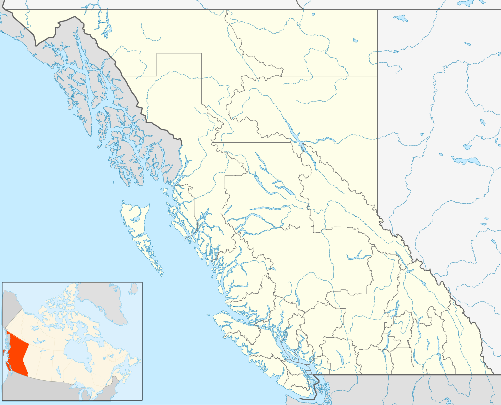 Dunster, British Columbia Location of Dunster in British Columbia | |
| Coordinates: 53°07′27″N 119°50′16″W / 53.12417°N 119.83778°W | |
| Country | Canada |
| Province | British Columbia |
| Regional District | Fraser-Fort George |
| Postal code | V0J |
| Area code(s) | 250, 778 |

Dunster is a small farming community in the Robson Valley region of British Columbia, Canada. It is located 31 km east of McBride and 37 km west of Tête Jaune Cache. Dunster is home to one of the few remaining, original and least altered Grand Trunk Pacific Railway stations.
History
Dunster was named by a Grand Trunk Pacific surveyor in honor of his home town Dunster in England. The station was constructed in 1913. The Dunster Post Office was opened 1 December 1915 with George Hall as the first postmaster. In 1921 Mrs A. McDonald became postmaster.
Climate
| Climate data for Dunster, British Columbia | |||||||||||||
|---|---|---|---|---|---|---|---|---|---|---|---|---|---|
| Month | Jan | Feb | Mar | Apr | May | Jun | Jul | Aug | Sep | Oct | Nov | Dec | Year |
| Record high °C (°F) | 8 (46) |
11.5 (52.7) |
19 (66) |
27.2 (81) |
35 (95) |
33.5 (92.3) |
34.5 (94.1) |
35 (95) |
33 (91) |
25 (77) |
16.1 (61) |
11 (52) |
35 (95) |
| Average high °C (°F) | −3.9 (25) |
−0.1 (31.8) |
6.1 (43) |
12.5 (54.5) |
17.4 (63.3) |
20.5 (68.9) |
23.2 (73.8) |
22.4 (72.3) |
17 (63) |
10 (50) |
1 (34) |
−4 (25) |
10.2 (50.4) |
| Daily mean °C (°F) | −7.7 (18.1) |
−4.6 (23.7) |
0.5 (32.9) |
5.7 (42.3) |
10.1 (50.2) |
13.2 (55.8) |
15.4 (59.7) |
14.8 (58.6) |
10.5 (50.9) |
5.2 (41.4) |
−2.3 (27.9) |
−7.4 (18.7) |
4.5 (40.1) |
| Average low °C (°F) | −11.6 (11.1) |
−9 (16) |
−5.1 (22.8) |
−1.1 (30) |
2.8 (37) |
6 (43) |
7.5 (45.5) |
7.1 (44.8) |
4 (39) |
0.4 (32.7) |
−5.6 (21.9) |
−10.8 (12.6) |
−1.3 (29.7) |
| Record low °C (°F) | −42 (−44) |
−45.5 (−49.9) |
−36 (−33) |
−16.7 (1.9) |
−5 (23) |
−3 (27) |
−0.5 (31.1) |
−5 (23) |
−7.5 (18.5) |
−27 (−17) |
−39 (−38) |
−45 (−49) |
−45.5 (−49.9) |
| Average precipitation mm (inches) | 55.9 (2.201) |
41.3 (1.626) |
39.1 (1.539) |
31.9 (1.256) |
43.4 (1.709) |
60.6 (2.386) |
59.6 (2.346) |
55.5 (2.185) |
50.5 (1.988) |
64.9 (2.555) |
61.1 (2.406) |
67.1 (2.642) |
630.7 (24.831) |
| Source: 1971-2000 Environment Canada [1] | |||||||||||||
See also
External links
- Vanishing British Columbia: Grand Trunk Pacific Railway Stations
- Dunster Community webpage
- Map from British Columbia Travel and Discovery
- Robson Valley Music Festival
- BCGNIS Geographical Name Query
Coordinates: 53°07′01″N 119°49′59″W / 53.117°N 119.833°W
References
- ↑ Environment Canada—1971–2000. Retrieved 12 November 2012.
This article is issued from Wikipedia - version of the 3/16/2013. The text is available under the Creative Commons Attribution/Share Alike but additional terms may apply for the media files.