Dyngjujökull
| Dyngjujökull | |
|---|---|
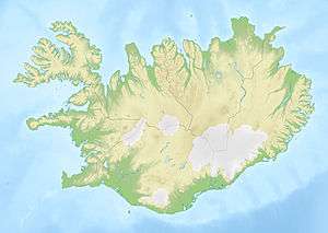 Map of Iceland showing the location of Dyngjujökull | |
| Type | Outlet glacier |
| Location | Suður-Þingeyjarsýsla, Northeastern Region, Iceland |
| Coordinates | 64°43′N 17°01′W / 64.72°N 17.01°WCoordinates: 64°43′N 17°01′W / 64.72°N 17.01°W |
| Terminus | Jökulsá á Fjöllum |
Dyngjujökull (Icelandic pronunciation: [ˈtiɲcʏˌjœːkʏtl̥], shield volcano glacier) is an outlet glacier of the Vatnajökull glacier in Suður-Þingeyjarsýsla, Northeastern Region, Iceland. The glacier is in the Icelandic Highlands and is situated between Bárðarbunga, Holuhraun and Kverkfjöll. Meltwater from the glacier flows into Jökulsá á Fjöllum, the second longest river in Iceland.
Depressions discovered by scientists, on 6 September 2014, have prompted speculation that eruptions may be occurring below the surface of the glacier. This is associated with seismic activity at the Bardarbunga caldera, a large volcanic structure located beneath the glacier.[1]
References
This article is issued from Wikipedia - version of the 7/9/2016. The text is available under the Creative Commons Attribution/Share Alike but additional terms may apply for the media files.