Easaval
| Easaval | |
|---|---|
 Farm land behind the Pollachar Inn, looking towards Easabhal | |
| Highest point | |
| Elevation | 243 m (797 ft) |
| Prominence | 239 m (784 ft) |
| Listing | Marilyn |
| Coordinates | 57°07′10″N 7°19′56″W / 57.1195°N 7.3322°WCoordinates: 57°07′10″N 7°19′56″W / 57.1195°N 7.3322°W |
| Geography | |
 Easaval | |
| OS grid | NF774158 |
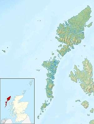
Easaval (Scottish Gaelic: Easabhal) is one of the smallest hills on the island of South Uist in the Outer Hebrides of Scotland, with a height of 243 metres (797 ft).[1] It is a small rounded hill[2] located south of Lochboisdale[3] near Pollachar[4] in the southernmost part of South Uist, overlooking the Sound of Barra.[2]
There are good views from the top,[5] including distant views of St Kilda on the northwestern horizon, almost 60 miles away.[2] On a clear day one can also see Beinn Mhòr, the highest hill in South Uist, Skye, Rùm, Canna, Eigg and Muck. To the south there are views of Barra, Coll and Tiree, the Isle of Mull, and landmarks on the mainland such as the lighthouse on Ardnamurchan, all the great mainland hills between Glenelg and Ardnamurchan, and the peaks of Beinn Talaidh, Beinn Bhearnach and Dun da Ghaoith.[2]
References
- ↑ Alan Dawson (1 January 1992). Relative Hills of Britain. Cicerone Press Limited. p. 107. ISBN 978-1-85284-068-6. Retrieved 10 August 2011.
- 1 2 3 4 Seton Paul Gordon (1921). Wanderings of a naturalist. Cassell and Company Ltd. p. 90. Retrieved 10 August 2011.
- ↑ Geological Society of Glasgow (1928). Transactions of the Geological Society of Glasgow. The Society. Retrieved 10 August 2011.
- ↑ Chamber's journal. W. & R. Chambers. 1921. Retrieved 10 August 2011.
- ↑ "Easaval and Arnaval". Mountains of Scotland. Retrieved 9 August 2011.