East Kutai Regency
| East Kutai Regency Kabupaten Kutai Timur | ||
|---|---|---|
| ||
 Location of East Kutai Regency in East Kalimantan | ||
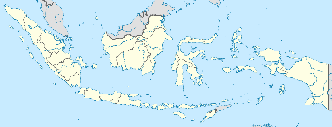 East Kutai Regency Location of East Kutai Regency in East Kalimantan | ||
| Coordinates: 1°18′40″S 116°31′36″E / 1.31111°S 116.52667°ECoordinates: 1°18′40″S 116°31′36″E / 1.31111°S 116.52667°E | ||
| Country | Indonesia | |
| Province | East Kalimantan | |
| Regency | East Kutai | |
| Districts | 18 | |
| Area | ||
| • Total | 35,747.5 km2 (13,802.2 sq mi) | |
| Population (2010 Census) | ||
| • Total | 253,904 | |
| • Density | 7.1/km2 (18/sq mi) | |
| Time zone | WITA (UTC+8) | |
| Website |
www | |

East Kutai Regency, or in Indonesian: Kutai Timur, is a regency of East Kalimantan province, Indonesia. It has an area of 35,747.50 km²[1] and a population of 253,904 at the 2010 Census.[2] Sangatta is the capital of the regency.
There are several coal mining companies with concessions around this regency, including Kaltim Prima Coal, one of the largest coal mining companies in Indonesia. The regency also contains one of the largest coal mine in Asia - the East Kutai coal mine.
Administration
East Kutai Regency is divided into 18 districts (kecamatan)[1] , tabulated below with their 2010 Census population:[3]
| Name | Population Census 2010 |
|---|---|
| Muara Ancalong | 12,511 |
| Busang | 4,326 |
| Long Mesangat | 4,250 |
| Muara Wahau | 15,734 |
| Telen | 5,766 |
| Kongbeng | 15,631 |
| Muara Bengkal | 11,331 |
| Batu Ampar | 4,201 |
| Sangatta Utara (North Sangatta) | 72,156 |
| Bengalon | 22,698 |
| Teluk Pandan | 12,208 |
| Sangatta Selatan (South Sangatta) | 18,194 |
| Rantau Pulung | 7,203 |
| Sangkulirang | 16,181 |
| Kaliorang | 7,998 |
| Sandaran | 6,494 |
| Kaubun | 9,622 |
| Karangan | 9,133 |
References
- 1 2 www.kutaitimur.go.id
- ↑ www.kutaitimur.go.id
- ↑ Biro Pusat Statistik, Jakarta, 2011.
External links
Regencies and cities of East Kalimantan | ||
|---|---|---|
Capital: Samarinda | ||
| Regencies | ||
| Cities | ||
This article is issued from Wikipedia - version of the 2/16/2016. The text is available under the Creative Commons Attribution/Share Alike but additional terms may apply for the media files.