Ebbe Glacier
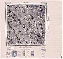
Ebbe Glacier (71°03′S 164°45′E / 71.050°S 164.750°ECoordinates: 71°03′S 164°45′E / 71.050°S 164.750°E) is a tributary glacier about 60 miles (100 km) long, draining northwest from the Homerun Range and the Robinson Heights, and then west-northwest between the Everett Range and the Anare Mountains into Lillie Glacier, Victoria Land, Antarctica. This feature saddles with Tucker Glacier, the latter draining southeast to the Ross Sea. It was mapped by the United States Geological Survey from surveys and from air photos by US Navy Squadron VX-6, 1960–62, and was named by the Advisory Committee on Antarctic Names for Commander Gordon K. Ebbe, commanding officer of Squadron VX-6 from June 1955 to June 1956. The glacier lies situated on the Pennell Coast, a portion of Antarctica lying between Cape Williams and Cape Adare.[1]
See also
References
- ↑ "Ebbe Glacier". Geographic Names Information System. United States Geological Survey. Retrieved 2012-02-23.
![]() This article incorporates public domain material from the United States Geological Survey document "Ebbe Glacier" (content from the Geographic Names Information System).
This article incorporates public domain material from the United States Geological Survey document "Ebbe Glacier" (content from the Geographic Names Information System).