Enadimangalam
| Enadimangalam | |
|---|---|
| village | |
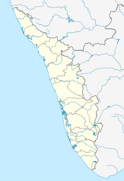 Enadimangalam  Enadimangalam Location in Kerala, India | |
| Coordinates: 9°08′17″N 76°49′21″E / 9.138056°N 76.822500°ECoordinates: 9°08′17″N 76°49′21″E / 9.138056°N 76.822500°E | |
| Country |
|
| State | Kerala |
| District | Pathanamthitta |
| Area | |
| • Total | 30.77 km2 (11.88 sq mi) |
| Population (2001) | |
| • Total | 20,955 |
| • Density | 680/km2 (1,800/sq mi) |
| Languages | |
| • Official | Malayalam, English |
| Time zone | IST (UTC+5:30) |
| PIN | 691524 |
| Vehicle registration | KL-03 |
Enadimangalam is a village in the Pathanamthitta district of the state of Kerala, India.[1]
Demographics
According to the 2011 Census of India, Enadimangalam had a population of 20,568 with 9,629 males and 10,939 females.[1]
Settlements
Kurumpakara
Kurumpakara is divided into three electoral wards with Udayonmuttam as the centre.
The Shree Sankara Narayana Swami Temple and the Nethaji Memorial Grandhasala library are located in Kurumpakara. The Kurumpakara Post Office is in Udayonmuttam and its postal code is 689695. The settlement also has a local branch of the Nair Service Society with registration number 1178.
The noted communist Sakhavu Kurumpakara Thankappan was born and raised in Kurumpakara. A memorial dedicated to him is situated at the Udayonmuttam Junction.[2] Thankappan was a well-known communist in the era of M. N. Govindan Nair, Thoppil Bhasi etc. He was a good friend of Sakhavu Thengamam Balakrishnan, former MLA of Adoor. Thoppil Bhasi wrote about him in his book Olivile Ormmakal.
Sakhavu Vasudevan Pillai, the elder brother of Kurumpakara Thankappan and World War II veteran, resides here.
The population consists of Hindus, Christians and Muslims, with Hindus comprising the majority.
Anchumala Para[3] is one of the highest mountains in the area, and it is a regular destination for many students and others seeking a scenic view of the region.
Kurumpakara has connections with the Poruvazhy Peruviruthy Malanada festival.[4][5]
Kunnida
The Kerala Industrial Infrastructure Development Corporation (KINFRA) industrial center is in Kunnida. The Central Medical College is at KINFRA, and there is also a private medical college in Chayalodu, near Kunnida. An engineering college is planned in the vicinity.
Maroor
Maroor is located 8 kilometres (5.0 mi) from Pathanapuram and 12 kilometres (7.5 mi) from Adhor by the Kayamkulam-Punalur Road. The Elamannur Panchayat Office, sub-registrar office and agriculture office are in Maroor.
Administration
Electoral wards
Enadimangalam is split into the following electoral wards:
- Bhoothankara
- Chayalode
- Elamannur
- Kurumpakara
- Kunnida
- Maroor
- Mangadu
- Parackal
- Salempuram.(Mallumkuzha(Moozhi)> Putuval:Ward-7)
References
- 1 2 "View population details - Enadimangalam". Census of India. Registrar General and Census Commissioner of India. Archived from the original on 2014-04-20. Retrieved 2014-04-20.
- ↑ http://www.mypicx.com/01292011/SAKHAVU_KURUMPAKARA_THANKAPPAN_/
- ↑ http://wn.com/Kurumpakara
- ↑ Poruvazhy Peruviruthy Malanada
- ↑ http://mooththamma.blogspot.com/2010/12/kurumpakara.html