Farr, Strathnairn
Coordinates: 57°22′12″N 4°11′24″W / 57.36996°N 4.190018°W
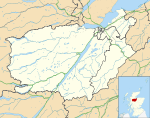
Farr (Gaelic: Fàrr[1]) is a large area in Strathnairn,[2] about 12 kilometres (7.5 mi) south of Inverness, in the Highland of Scotland. Much of the area is spread along the B851 single track road. Its boundaries lie just north of Inverernie and Dalveallan, to the south of Socaich, in the west to the Biorraid, and in the east where the Monadhliath Mountains begin. Farr has a primary school,[3] several churches, shop, and a community hall.
Farr Wind Farm is found on the Sealbhanaich, an area located in the Monadhliath Mountains to the south east of Farr and Strathnairn.
References
- ↑ Iain Mac an Tàilleir (2003). "Placenames collected by Iain Mac an Tailleir". Scottish Parliament. Retrieved 2011-01-20.
- ↑ Forbes, William. "History of Strathnairn". Strathnairn Heritage Association., 2008.
- ↑ "Farr Primary School". Highland Council. Retrieved 2011-01-20.
| Wikimedia Commons has media related to Farr, Strathnairn. |
This article is issued from Wikipedia - version of the 7/18/2016. The text is available under the Creative Commons Attribution/Share Alike but additional terms may apply for the media files.