Fløtatinden
| Fløtatinden | |
|---|---|
| Trondskjortetinden | |
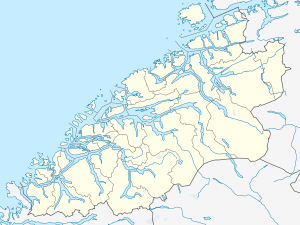 Fløtatinden Location in Møre og Romsdal | |
| Highest point | |
| Elevation | 1,711 m (5,614 ft) |
| Prominence | 390 m (1,280 ft) |
| Coordinates | 62°36′30″N 08°12′51″E / 62.60833°N 8.21417°ECoordinates: 62°36′30″N 08°12′51″E / 62.60833°N 8.21417°E |
| Geography | |
| Location | Nesset, Møre og Romsdal, Norway |
| Topo map | 1320 II Eresfjord (summit) and 1420 III Sunndalsøra (ascent) |
Fløtatinden (also called Trondskjortetinden) is a mountain in the municipality of Nesset in Møre og Romsdal county, Norway. The summit is a popular ski destination, accessed from the east.
The mountain is located on the eastern shore of the lake Eikesdalsvatnet, and it has a view towards the Mardalsfossen waterfall in the south and the mountain Skjorta in the north. The village of Eresfjord lies about 10 kilometres (6.2 mi) to the northwest along the Eira River.[1]
References
- ↑ "Fløtatinden" (in Norwegian). yr.no. Retrieved 2010-10-31.
This article is issued from Wikipedia - version of the 5/28/2015. The text is available under the Creative Commons Attribution/Share Alike but additional terms may apply for the media files.