Fontevivo
| Fontevivo | |
|---|---|
| Comune | |
| Comune di Fontevivo | |
 Fontevivo Location of Fontevivo in Italy | |
| Coordinates: 44°51′N 10°10′E / 44.850°N 10.167°ECoordinates: 44°51′N 10°10′E / 44.850°N 10.167°E | |
| Country | Italy |
| Region | Emilia-Romagna |
| Province / Metropolitan city | Province of Parma (PR) |
| Frazioni | Bellena, Bianconese, Case Cantarana, Case Gaiffa, Case Massi, Fienilnuovo, Fondo Fontana, Fontane, Molinetto, Ponte Recchio, Ponte Taro, Recchio di Sotto, Romitaggio, Stazione Castelguelfo, Tarona, Torchio |
| Area | |
| • Total | 25.9 km2 (10.0 sq mi) |
| Population (Dec. 2004) | |
| • Total | 5,337 |
| • Density | 210/km2 (530/sq mi) |
| Time zone | CET (UTC+1) |
| • Summer (DST) | CEST (UTC+2) |
| Postal code | 43010 |
| Dialing code | 0521 |
| Website | Official website |
Fontevivo is a comune (municipality) in the Province of Parma in the Italian region Emilia-Romagna, located about 100 kilometres (62 mi) northwest of Bologna and about 14 kilometres (9 mi) northwest of Parma. As of 31 December 2004, it had a population of 5,337 and an area of 25.9 square kilometres (10.0 sq mi).[1]
It is best known as the location of the former Fontevivo Abbey, the church of which now serves as the parish church.
The municipality of Fontevivo contains the frazioni (subdivisions, mainly villages and hamlets) Bellena, Bianconese, Case Cantarana, Case Gaiffa, Case Massi, Fienilnuovo, Fondo Fontana, Fontane, Molinetto, Ponte Recchio, Ponte Taro, Recchio di Sotto, Romitaggio, Stazione Castelguelfo, Tarona, and Torchio.
Fontevivo borders the following municipalities: Fontanellato, Noceto, Parma.
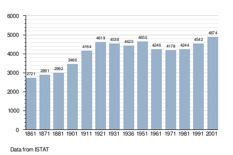
Demographic evolution