Fostoria Metropolitan Airport
| Fostoria Metropolitan Airport | |||||||||||
|---|---|---|---|---|---|---|---|---|---|---|---|
| IATA: none – ICAO: KFZI – FAA LID: FZI | |||||||||||
| Summary | |||||||||||
| Airport type | Public | ||||||||||
| Owner | City of Fostoria | ||||||||||
| Serves | Fostoria, Ohio | ||||||||||
| Elevation AMSL | 752 ft / 229 m | ||||||||||
| Coordinates | 41°11′27″N 083°23′40″W / 41.19083°N 83.39444°W | ||||||||||
| Map | |||||||||||
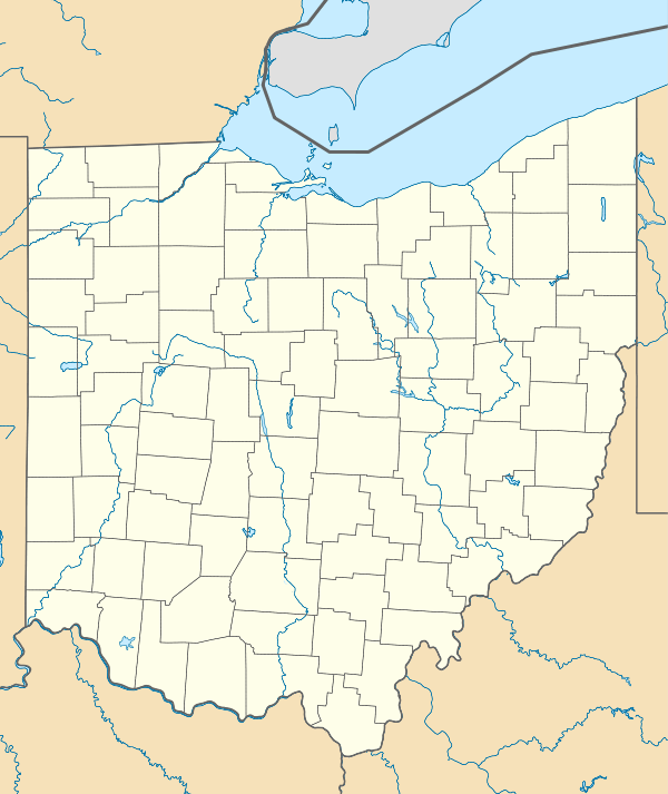 FZI  FZI Location of airport in Ohio/United States | |||||||||||
| Runways | |||||||||||
| |||||||||||
| Statistics (2008) | |||||||||||
| |||||||||||
Fostoria Metropolitan Airport (ICAO: KFZI, FAA LID: FZI) is a city-owned public airport two miles northeast of Fostoria, Ohio.[1] The FAA's National Plan of Integrated Airport Systems for 2009-2013 classified it as a general aviation airport.[2]
Most U.S. airports use the same three-letter location identifier for the FAA and IATA, but this airport is FZI to the FAA and has no IATA code.
Facilities
The airport covers 201 acres (81 ha) at an elevation of 752 feet (229 m) above sea level. Its one runway, 9/27, is 5,000 by 100 feet (1,524 x 30 m) asphalt.[1]
In the year ending May 19, 2008 the airport had 7,900 aircraft operations, average 21 per day: 95% general aviation and 5% air taxi. 14 aircraft were then based at this airport: 93% single-engine and 7% jet.[1]
Awards
Recently the Fixed Based Operator (FBO) David Sniffen III was recognized by the Ohio Aviation Association as the 2010 Airport Manager of the year for the state of Ohio.
References
- 1 2 3 4 FAA Airport Master Record for FZI (Form 5010 PDF). Federal Aviation Administration. Effective 17 December 2009.
- ↑ FAA National Plan of Integrated Airport Systems: 2009-2013
External links
- Aerial photo as of 6 May 1995 from USGS The National Map
- FAA Terminal Procedures for FZI, effective November 10, 2016
- Resources for this airport:
- FAA airport information for FZI
- AirNav airport information for FZI
- FlightAware airport information and live flight tracker
- SkyVector aeronautical chart for FZI