Fourth Ward Historic District
|
Fourth Ward Historic District | |
 | |
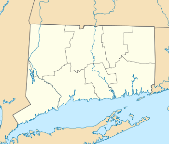  | |
| Location | Roughly along Church, Division, Northfield and William Sts.; and Putnam Court and Sherwood Place, Greenwich, Connecticut |
|---|---|
| Coordinates | 41°2′6″N 73°37′40″W / 41.03500°N 73.62778°WCoordinates: 41°2′6″N 73°37′40″W / 41.03500°N 73.62778°W |
| Area | 28.4 acres (11.5 ha) |
| Architectural style | Queen Anne, Italianate, et al. |
| NRHP Reference # | 00000324[1] |
| Added to NRHP | April 21, 2000 |
The Fourth Ward Historic District in Greenwich, Connecticut is a 28.4 acres (11.5 ha) historic district that was listed on the National Register of Historic Places in 2000. It includes examples of Queen Anne, Italianate and other architecture.[1]
The district is a dense, low-rise, moderate-income and mostly-Irish residential neighborhood north of the commercial area of Greenwich which lies along U.S. Route 1 / East Putnam Avenue, the original Boston Post Road. Included are properties on six streets: Church Street, Sherwood Place, Putnam Court, William Street, Northfield Street, and Division Street.[2] In 2000 it included 159 contributing buildings and one other contributing site.[1] The two oldest houses in the district are Greek Revival John Knapp House from 1837 and the John Kirk House from 1838.[2]
See also
References
| Wikimedia Commons has media related to Fourth Ward Historic District. |
- 1 2 3 National Park Service (2009-03-13). "National Register Information System". National Register of Historic Places. National Park Service.
- 1 2 Nils Kerschus (September 17, 1999). "National Register of Historic Places Registration: Fourth Ward Historic Site" (PDF). National Park Service. and Accompanying 15 photos
| Topics | |
|---|---|
| Lists by states |
|
| Lists by insular areas | |
| Lists by associated states | |
| Other areas | |
| |