Frahier-et-Chatebier
| Frahier-et-Chatebier | |||||||
|---|---|---|---|---|---|---|---|
| |||||||
 Frahier-et-Chatebier | |||||||
|
Location within Bourgogne-Franche-Comté region  Frahier-et-Chatebier | |||||||
| Coordinates: 47°39′39″N 6°44′54″E / 47.6608°N 6.7483°ECoordinates: 47°39′39″N 6°44′54″E / 47.6608°N 6.7483°E | |||||||
| Country | France | ||||||
| Region | Bourgogne-Franche-Comté | ||||||
| Department | Haute-Saône | ||||||
| Arrondissement | Lure | ||||||
| Canton | Champagney | ||||||
| Area1 | 17.39 km2 (6.71 sq mi) | ||||||
| Population (2006)2 | 1,144 | ||||||
| • Density | 66/km2 (170/sq mi) | ||||||
| Time zone | CET (UTC+1) | ||||||
| • Summer (DST) | CEST (UTC+2) | ||||||
| INSEE/Postal code | 70248 / 70400 | ||||||
| Elevation | 352–493 m (1,155–1,617 ft) | ||||||
|
1 French Land Register data, which excludes lakes, ponds, glaciers > 1 km² (0.386 sq mi or 247 acres) and river estuaries. 2 Population without double counting: residents of multiple communes (e.g., students and military personnel) only counted once. | |||||||
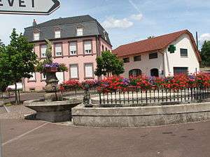
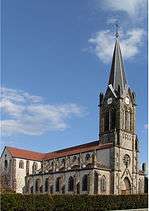
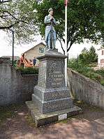
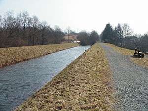
Frahier-et-Chatebier is a commune in the Haute-Saône department in the region of Bourgogne-Franche-Comté in eastern France.
See also
References
- INSEE (English)
| Wikimedia Commons has media related to Frahier-et-Chatebier. |
This article is issued from Wikipedia - version of the 10/29/2016. The text is available under the Creative Commons Attribution/Share Alike but additional terms may apply for the media files.