Gallia–Meigs Regional Airport
| Gallia-Meigs Regional Airport | |||||||||||||||
|---|---|---|---|---|---|---|---|---|---|---|---|---|---|---|---|
| IATA: GAS – ICAO: KGAS – FAA LID: GAS – LID: GAS | |||||||||||||||
| Summary | |||||||||||||||
| Airport type | General aviation (GA) | ||||||||||||||
| Owner |
Publicly owned Gallia Meigs Regnl A Auth | ||||||||||||||
| Serves | Gallipolis, Ohio, Pomeroy, Ohio | ||||||||||||||
| Location | Gallipolis, Ohio, United States | ||||||||||||||
| Elevation AMSL | 566 ft / 173 m | ||||||||||||||
| Coordinates | 38°50′2.8″N 82°9′48.35″W / 38.834111°N 82.1634306°WCoordinates: 38°50′2.8″N 82°9′48.35″W / 38.834111°N 82.1634306°W | ||||||||||||||
| Map | |||||||||||||||
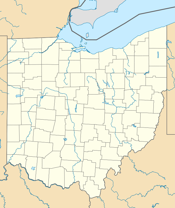 GAS  GAS Location of airport in Ohio/United States | |||||||||||||||
| Runways | |||||||||||||||
| |||||||||||||||
Gallia–Meigs Regional Airport (ICAO: KGAS, FAA LID: GAS) is an airport located in Gallipolis, Ohio, United States.
The airport is named after Gallia County and Meigs County.
External links
- Resources for this airport:
- FAA airport information for GAS
- AirNav airport information for GAS
- FlightAware airport information and live flight tracker
- SkyVector aeronautical chart for GAS
This article is issued from Wikipedia - version of the 11/26/2016. The text is available under the Creative Commons Attribution/Share Alike but additional terms may apply for the media files.