Gampalagudem mandal
| Gampalagudem mandal గంపలగూడెం మండలం | |
|---|---|
| Mandal | |
|
Mandal map of Krishna district showing Vijayawada (rural) mandal (in yellow) | |
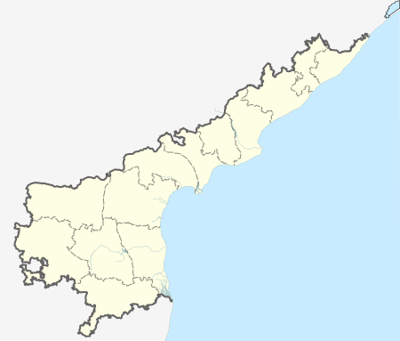
 Gampalagudem mandal Location in Andhra Pradesh, India | |
| Coordinates: 16°36′20″N 80°22′43″E / 16.60556°N 80.37861°ECoordinates: 16°36′20″N 80°22′43″E / 16.60556°N 80.37861°E | |
| Country | India |
| State | Andhra Pradesh |
| District | Krishna |
| Headquarters | Gampalagudem |
| Population (2011)[1] | |
| • Total | 71,544 |
| Languages | |
| • Official | Telugu |
| Time zone | IST (UTC+5:30) |
Gampalagudem mandal is one of the 50 mandals in Krishna district of the state of Andhra Pradesh in India. It is under the administration of Nuzvid revenue division and the headquarters are located at Gampalagudem town.[2][3] The mandal is bounded by Tiruvuru, A. Konduru mandals of Krishna district in Andhra Pradesh and Khammam district of Telangana state.[4]
Demographics
As of 2011 census, the mandal had a population of 71,544. The total population constitute, 36,215 males and 35,329 females —a sex ratio of 976 females per 1000 males. 7,071 children are in the age group of 0–6 years, of which 3,650 are boys and 3,421 are girls. The average literacy rate stands at 60.25% with 38,847 literates.[1]
Administration
Gampalagudem mandal is one of the 4 mandals under Tiruvuru (SC) (Assembly constituency), which in turn represents Vijayawada (Lok Sabha constituency) of Andhra Pradesh.[5]
Towns and villages
As of 2011 census, the mandal has 21 villages.[2] The settlements in the mandal are listed below:
- Anumollanka
- Arlapadu
- Chennavaram
- Dundiralapadu
- Gampalagudem†
- Gosaveedu
- Gullapudi
- Kanumuru
- Konijerla
- Kothapalle
- Lingala
- Meduru
- Narikampadu
- Nemali
- Peda Komira
- Penugolanu
- Rajavaram
- Tunikipadu
- Ummadidevarapalle
- Utukuru
- Vinagadapa
Note: †–Mandal Headquarters[6]
See also
References
- 1 2 "Census 2011". The Registrar General & Census Commissioner, India. Retrieved 19 July 2015.
- 1 2 "Krishna District Mandals" (PDF). Census of India. pp. 479,524. Retrieved 16 July 2015.
- ↑ "Administrative Setup". Krishna District Official Website. National Informatics Centre. Retrieved 16 July 2015.
- ↑ "Mandals in Krishna district". aponline.gov.in. Retrieved 17 July 2015.
- ↑ "Delimitation of Parliamentary and Assembly Constituencies Order, 2008" (pdf). Election Commission of India. p. 22. Retrieved 11 October 2014.
- ↑ "Some Concepts and Definitions" (PDF). Census of India 2011. Retrieved 17 July 2015.
