Garowol
| Garowol | |
|---|---|
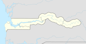 Garowol Location in the Gambia | |
| Coordinates: 13°25′N 13°56′W / 13.417°N 13.933°WCoordinates: 13°25′N 13°56′W / 13.417°N 13.933°W | |
| Country |
|
| Division | Upper River Division |
| District | Kantora |
| Elevation | 69 ft (21 m) |
| Population (2012 (est)) | |
| • Total | 8,124 |
Garowol or Garawoll is a small town in eastern Gambia near the border with Senegal. It is located in Kantora District in the Upper River Division. As of 2012, it has an estimated population of 8,124.[1]
Jundala Forest Park is located nearby.
References
- ↑ "Gambia: largest cities and towns and statistics of their population". World Gazetteer. Retrieved January 3, 2009.
This article is issued from Wikipedia - version of the 2/9/2016. The text is available under the Creative Commons Attribution/Share Alike but additional terms may apply for the media files.