Garidepally mandal
| Garidepally mandal గరిడేపల్లి మండలం | |
|---|---|
| Mandal | |
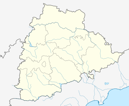 Garidepally mandal Location in Telangana, India | |
| Coordinates: 16°55′22″N 79°48′00″E / 16.9228223°N 79.8000°ECoordinates: 16°55′22″N 79°48′00″E / 16.9228223°N 79.8000°E | |
| Country | India |
| State | Telangana |
| District | Suryapet |
| Headquarters | Garidepally |
| Population (2011) | |
| • Total | 54,515 |
| Languages | |
| • Official | Telugu |
| Time zone | IST (UTC+5:30) |
| PIN | 508201 |
| Vehicle registration | TS 29 |
Garidepally mandal is one of the 23 mandals in Suryapet district of the Indian state of Telangana.[1] It is under the administration of Suryapet revenue division with its headquarters at Garidepally. It is bounded by Neredcherla mandal towards west, Huzurnagar mandal towards East, Penpahad mandal towards North, Mattampally mandal towards South.
Geography
It is in the 112 m elevation(altitude) .
Demographics
Garidepally mandal is having a population of 54,515 living in 13,066 Houses. Males are 27,708 and Females are 26,807. Kuthubshapur is the smallest Village and Garidepally is the biggest Village .
Villages
As of 2011 census of India, the mandal has 11 settlements.[2] The settlements in the mandal are listed below:
- Garidepally (CT) †
- Ponugode
- Kalmalcheruvu
- Sarvaram
- Gaddipalli
- Kutubshapur
- Velidanda
- Rayangudem
- Talla malkapur
- Kalvapalli
- Ganugubanda
- Notes
- (†) Mandal headquarter
References
- ↑ "Suryapet district" (PDF). New Districts Formation Portal. Retrieved 11 October 2016.
- ↑ Garidepally mandal
This article is issued from Wikipedia - version of the 11/20/2016. The text is available under the Creative Commons Attribution/Share Alike but additional terms may apply for the media files.