Gasparillo Island
|
Gasparillo Island in the right foreground, with Gaspar Grande island pictured behind | |
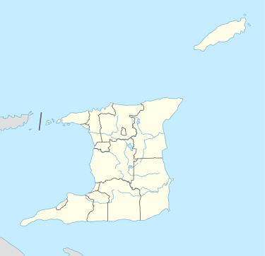 Gasparillo Island Location of Gasparillo Island off the north-western peninsular of Trinidad | |
| Geography | |
|---|---|
| Total islands | 2 |
| Administration | |
|
Trinidad and Tobago | |
| Demographics | |
| Population | Uninhabited (2015) |
| Additional information | |
| Also called Little Gasparee, Centipede Island, and Scorpion Island | |

Gasparillo (Spanish for "Little Gasparee") is a small island in the Republic of Trinidad and Tobago. It is one of the Bocas Islands (also referred to as Dragons' Teeth), which lie in the Bocas del Dragón (Spanish for Dragons' Mouth) between the main island of Trinidad and Venezuela. The island is currently uninhabited.
Characteristics
Gasparillo is actually made up of two islands separated by several metres of rocks. However the second island is very small and is not independently named. The main island a little over 200 metres in length but is very narrow, less than 50 metres at its widest point, approximately 8,000 m2 in area. It is, as with most islands around the Paria Peninsular, covered with dry forest vegetation, and composed of a limestone bedrock with caves. Several species of birds nest at the island, including the short-tailed swift that nest on the eastern side of the island.
History
The Gasparillo name has been derived because of its small size relative to the much larger Gaspar Grande Island, located just to the south of it. It has also been called Scorpion Island and Centipede Island due to the nature of its fauna. Sometime in the 19th century, it was also referred to as Gopee, based on one of its owners "Guppy", a Trinidad naturalist. He did not retain possession of the island due to a failure of paying land tax.[1]
In the 20th century it was bought or leased by a businessman, C.C. Stollmeyer, with the intent of quarrying limestone from the island. However he found the makeup of the island was not conducive to the venture due to its hollowness. He subsequently leased the smaller island to the Gransaull family who built a holiday home. The government regained possession of the island when the United States was leased areas in Trinidad under the Destroyers for Bases Agreement in 1940 during World War II.
See also

References
- de Verteuil, Anthony (2002). Western Isles of Trinidad. The Litho Press. ISBN 978-976-9500-85-3.
- "Centipede and Kronstadt". Trinidad and Tobago Newsday. 2005-05-29. Retrieved 2008-07-06.
Notes
- ↑ de Verteuil 2006, pg. 68
| Major Islands | ||
|---|---|---|
| Bocas Islands | ||
| The Five Islands | ||
| San Diego Islands | ||
| Islands off Tobago | ||
| Other Islands | ||
Coordinates: 10°40′34.85″N 61°39′11.48″W / 10.6763472°N 61.6531889°W