Ghatan
| Ghatan घतान | |
|---|---|
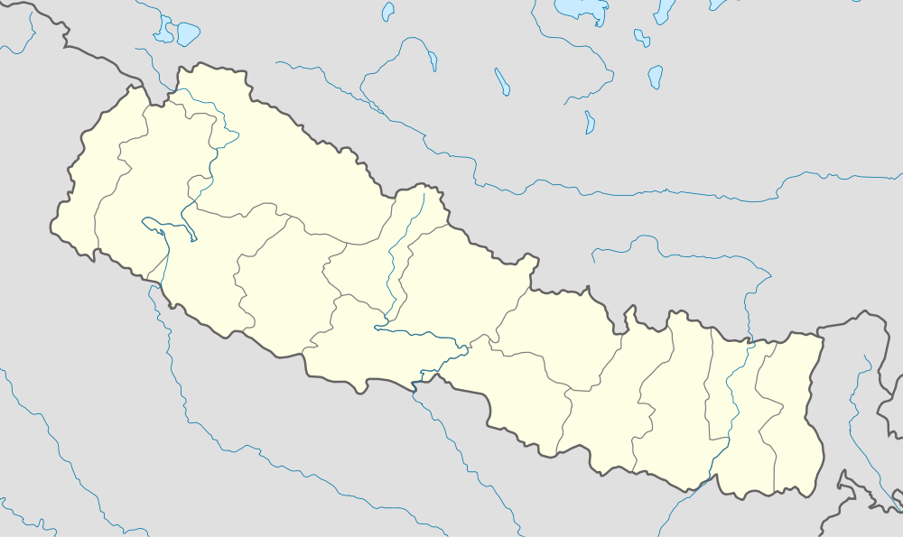 Ghatan Location in Nepal | |
| Coordinates: 28°23′N 83°33′E / 28.38°N 83.55°ECoordinates: 28°23′N 83°33′E / 28.38°N 83.55°E | |
| Country |
|
| Zone | Dhaulagiri Zone |
| District | Myagdi District |
| Population (1991) | |
| • Total | 3,475 |
| Time zone | Nepal Time (UTC+5:45) |
Ghatan is a market center in Beni Municipality in Myagdi District in the Dhaulagiri Zone of western-central Nepal. The former village development committee was annexed to form the new municipality on 18 May 2014.[1] [2] At the 2011 census, it had 1,137 households and a population of 4,327.[3]
The village has one educational center within its boundaries.
Ghatan is located on the pilgrimage route to the Hindu sacred site Muktinath.
Ghatan is the location of the "Big Pine Forest" that was established by environmentalist Bala Badra Baniya Chhetri after fire destroyed the existing forest. The 75 hectare (185 acre) forest is managed collaboratively by the people of Ghatan village.[4]
References
- ↑ 72 new municipalities announced My Republica
- ↑ Govt announces 72 new municipalities The Kathmandu Post
- ↑ "National Population and Housing Census 2011 (Village Development Committee/Municipality)" (PDF). Kathmandu, Nepal: Government of Nepal National Planning Commission Secretariat, Central Bureau of Statistics. November 2012. p. 66.
- ↑ Donald A. Messerschmidt (1986). "People and Resources in Nepal: Customary Resource Management Systems of the Upper Kali Gandaki". Proceedings of the Conference on Common Property Resource Management, April 21–26, 1985. National Research Council (U.S.) Panel on Common Property Resource Management, National Academies Press. p. 460.
External links

This article is issued from Wikipedia - version of the 10/30/2016. The text is available under the Creative Commons Attribution/Share Alike but additional terms may apply for the media files.