Gorkha Municipality
| Gorkha Nagarpālikā | |
|---|---|
|
Municipality /City Hill station | |
|
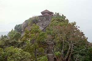
Old king's palace (Shah dynasty, including Prithvinarayan Shah)on a hill in Gorkha | |
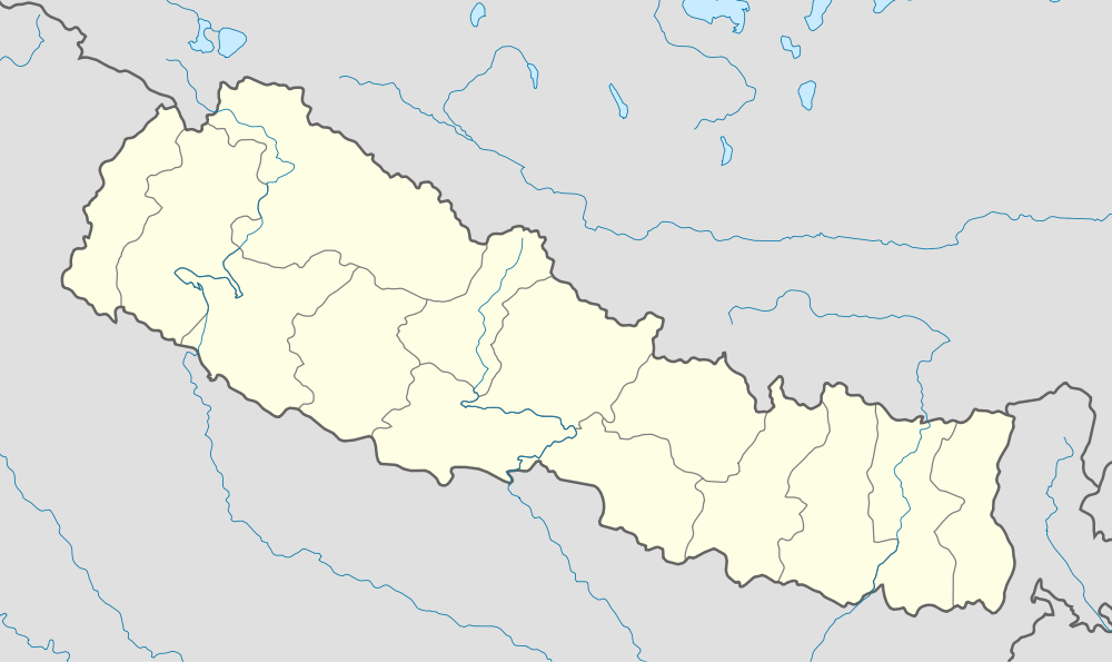 Gorkha Nagarpālikā Location in Nepal | |
| Coordinates: 28°0′0″N 84°38′0″E / 28.00000°N 84.63333°ECoordinates: 28°0′0″N 84°38′0″E / 28.00000°N 84.63333°E | |
| Country |
|
| Zone | Gandaki Zone |
| District | Gorkha District |
| Population (2011) | |
| • Total | 32,500 |
| Time zone | NST (UTC+5:45) |
| Postal code | 34000 |
| Area code(s) | 064 |
| Website | gorkhamun.gov.np |
| you can log on www.hamrogorkha.com | |
Gorkha is a municipality in central Nepal created in 1996. It was initially called Prithibhinarayan after King Prithvi Narayan Shah, who was born in Gorkha and united and founded modern Nepal.[1] In 2009, the name "Prithibhinarayan" was changed to Gorkha municipality.
The old royal palace (Gorkha Durbar), Gorakhnath and Kalika (temple of the goddess Kali) are the main attractions. The lower palace (Tallo Durbar) and a modern park are other major attractions.
It is also the starting point of the Manasalu Himal (Mount Manasalu) and Mount Ganesh trekking route. Gorkha Hospital is the hospital and Drabya Saha Multiple Campus and Gorkha Education Campus are the two campuses serving the population.
Media
To Promote local culture Gorkha has three Community radio Station, they are Radio Manaslu - 103.9 MHz, Radio Gorkha - 92.8 MHz and Radio Deurali F.M - 106.4 MHz.
